

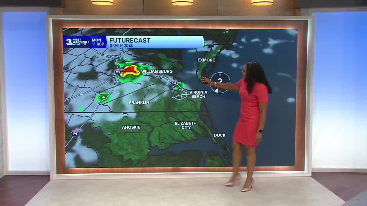


Derrah Getter's First Warning Forecast
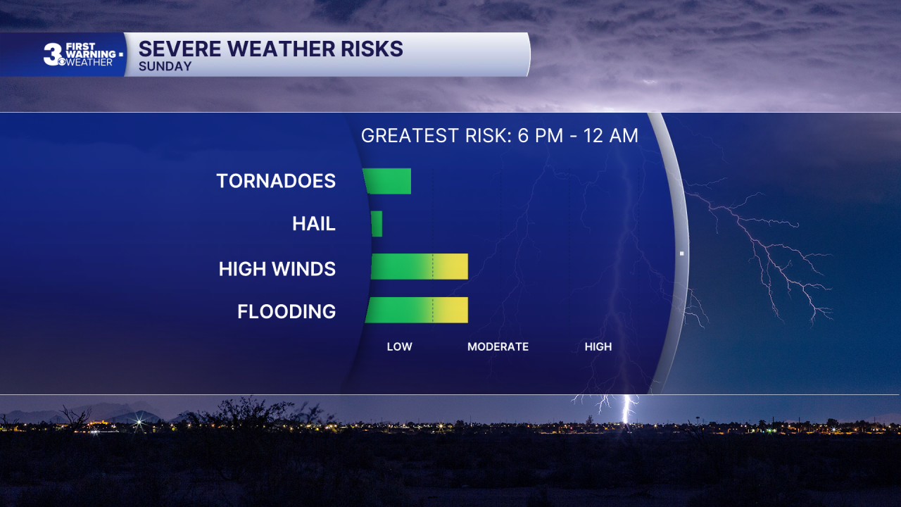
This evening, an approaching shortwave trough is forecast to fire up a line of strong to severe thunderstorms that will linger overnight. Strong storms will be capable of producing damaging wind gusts and heavy rain. An isolated tornado can’t be ruled out. Lows will be in the low 70s.
Temperatures climb to the mid 90s on Monday. Heat index values will range from 100 to 105 degrees. Isolated showers and storms pass through the region Monday night.

Drier conditions return Tuesday and Wednesday with highs in the upper 80s and low 90s.
Unsettled conditions return by the end of the week. Highs remain in the 80s and 90s.

Let's connect on social media!
Forecaster Derrah Getter:
For weather updates on Facebook: HERE
For weather updates on X: HERE
Follow me on Instagram: HERE
Check out the Interactive Radar on WTKR.com: Interactive Radar
