

Derrah Getter's First Warning Forecast
The clouds clear out but the temperatures heat up!

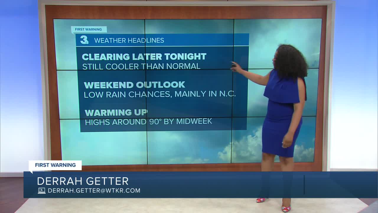
Today was below normal making it our 8th below normal day in a row. Highs hover in the upper 70s and low 80s. Gusty northeasterly winds will create rough surf and minor tidal flooding. A few spotty showers will be possible this evening with clouds and rain fading overnight.

On Saturday, skies will be partly sunny to start with brighter and drier conditions returning by evening. It will be noticeably brighter Sunday with lower rain chances as well. Highs both weekend days will be in the low 80s.
We get warmer in the week ahead. High temperatures climb back into the upper 80s and low 90s. There will be lower rain chances too. "Feels like" temperatures will be near 100 degrees by the middle of next week.

2025 Atlantic Hurricane Season Update:
As of 2 pm
We have two areas we're monitoring in the tropics.
The first is a non tropical weak area of low pressure. It has a 10% chance of tropical cyclone formation within the next week. It is expected to merge with a front over the weekend, ending its chances for additional development.
The second area of concern is a wave in the eastern Atlantic. It has a 40% chance of forming into a tropical cyclone in the next 7 days. Most models show the system moving north into cooler waters away from the United States.

Let's connect on social media!
Forecaster Derrah Getter:
For weather updates on Facebook: HERE
For weather updates on X: HERE
Follow me on Instagram: HERE
Check out the Interactive Radar on WTKR.com: Interactive Radar
