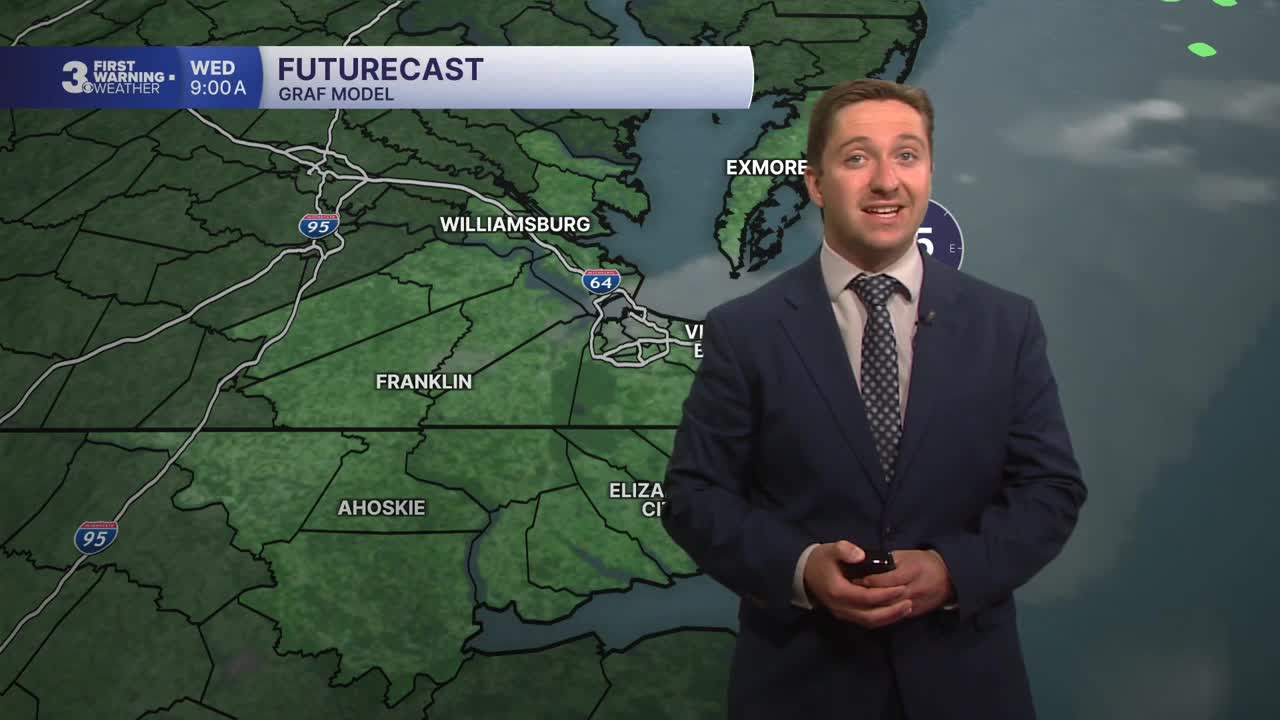


Meteorologist Myles Henderson’s First Warning Forecast
One more hot day. A midweek cold front brings in rain and a return to normal temperatures.
Warm again today with highs in the mid 90s. Expect mostly sunny skies and a SW breeze at 5 to 15 mph.

A cold front is set to move in on Thursday. We will see partly to mostly cloudy skies with scattered showers and isolated storms. Temperatures will reach the low 80s by midday then fall into the 70s through the afternoon.

We will be stuck in an unsettled weather pattern with partly to mostly cloudy skies and scattered showers and storms through the holiday weekend. Temperatures will climb from the 70s to 80s, near normal for this time of year.

Today: A Few Clouds. Highs in the mid 90s. Winds: SW 5-15
Tonight: A Few Clouds. Lows near 70. Winds: SW 5-10
Tomorrow: Mix of Clouds, Showers. Highs in the low 80s. Winds: SW/NE 5-15
Weather & Health
Pollen: Medium-High (Trees & Grasses)
UV Index: 9 (Very High)
Air Quality: Moderate (Code Yellow)
Mosquitoes: High
Weather updates on social media:
Facebook: MylesHendersonWTKR
Instagram: @MylesHendersonWTKR
