


Meteorologist Myles Henderson’s First Warning Forecast
Another break from the heat and humidity today. Climbing back to the 90s and building humidity again next week. Showers and storms return starting midweek.
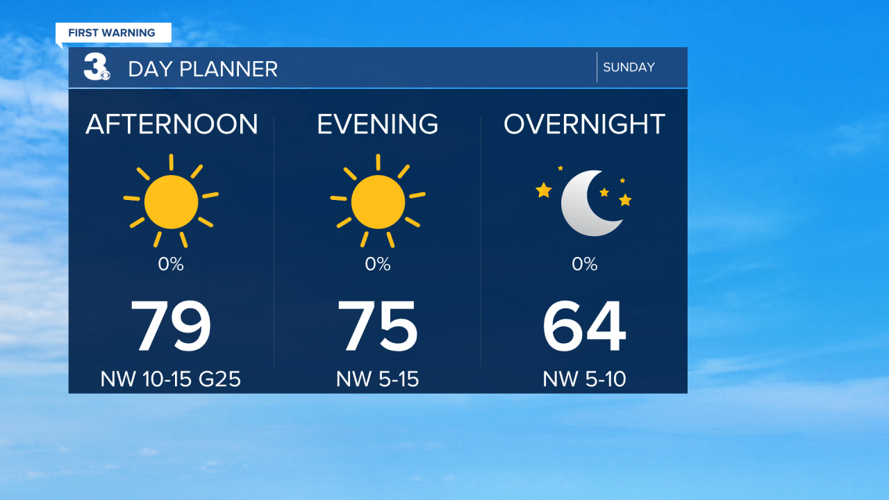
Get ready for another beautiful day! We will see lots of sunshine today with highs in the upper 70s, about 5 degrees below normal for this time of year. Humidity will be even lower than yesterday, making it feel more spring-like. It will still be breezy today, NNW wind at 10 to 15 and gusts to 25 mph.
Monday will be another nice one. Highs will return to the low 80s and humidity will stay low. More clouds will mix in, but rain chance will remain slim.
The first day of summer (the summer solstice) is on Tuesday and the heat and humidity will return, right on schedule. Highs will climb to the low 90s and upper 80s for the rest of the week and it will be humid again. Scattered showers and storms will return to the forecast starting Wednesday.

Today: Sunny, Breezy. Highs in the upper 70s. Winds: NW 10-15 G25
Tonight: A Few Clouds. Lows near 60. Winds: NW 5-15
Tomorrow: Partly Cloudy. Highs in the low 80s. Winds: N 5-10
Weather & Health
Pollen: Low-Medium (Grasses)
UV Index: 8 (Very High)
Air Quality: Good (Code Green)
Mosquitoes: Very High
Tropical Update
No tropical activity at this time.
Weather updates on social media:
Facebook: MylesHendersonWTKR
Twitter: @MHendersonWTKR
Instagram: @MylesHendersonWTKR
