


Meteorologist Myles Henderson’s First Warning Forecast
Falling back to the 40s to end the work week. Even colder to start next week.
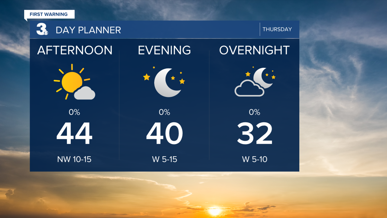
Colder air returns to end the week. Highs will drop to the mid 40s today, almost 10 degrees cooler than yesterday. We will see mostly sunny skies today and it will still be breezy with a NW wind at 10 to 15 mph.
Clouds will build in tomorrow. Look for a mix of partly to mostly cloudy skies with a spotty shower possible. Highs will return to the mid 40s, but the wind should be light.
We will get another one day warm up on Saturday with highs sneaking into the 50s. Expect mostly sunny to partly cloudy skies. A cold front is set to move through on Sunday. Temperatures will return to the mid 40s, we will see a mix of clouds, and the wind will kick up. A scattered rain/snow shower is possible Sunday as the front moves through, but overall moisture will be limited.

Even colder air is set to move in early next week, behind the cold front. Highs will drop to the mid 30s on Monday.
Today: Mostly Sunny. Highs in the mid 40s. Winds: NW 10-15
Tonight: Partly Cloudy. Lows in the upper 20s. Winds: W 5-10
Tomorrow: Partly to Mostly Cloudy. Highs in the mid 40s. Winds: W 5-10
Weather updates on social media:
Facebook: MylesHendersonWTKR
Instagram: @MylesHendersonWTKR
