


Meteorologist Myles Henderson’s First Warning Forecast
Much cooler this week. Tracking rain/snow potential later this week.
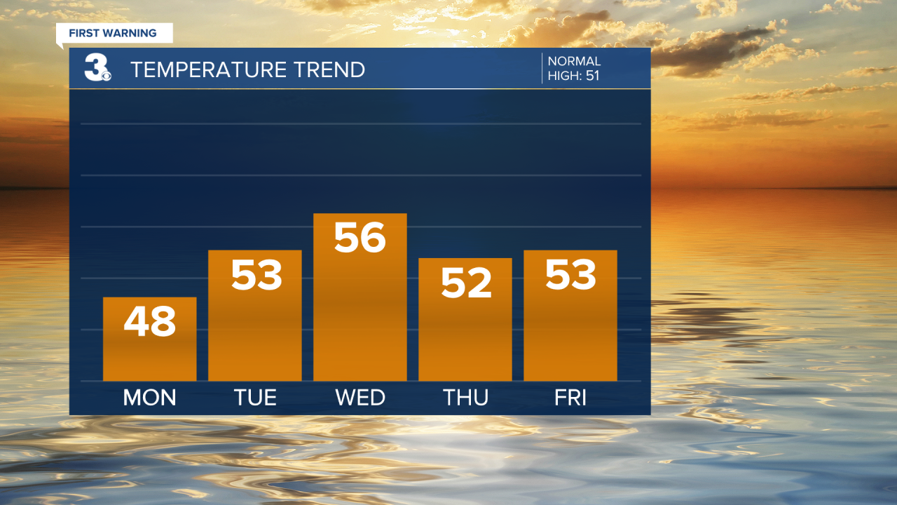
A chilly start to the work week with temperatures in the 20s and 30s this morning. We will see lots of sunshine today with highs in the upper 40s, just below normal for this time of year.

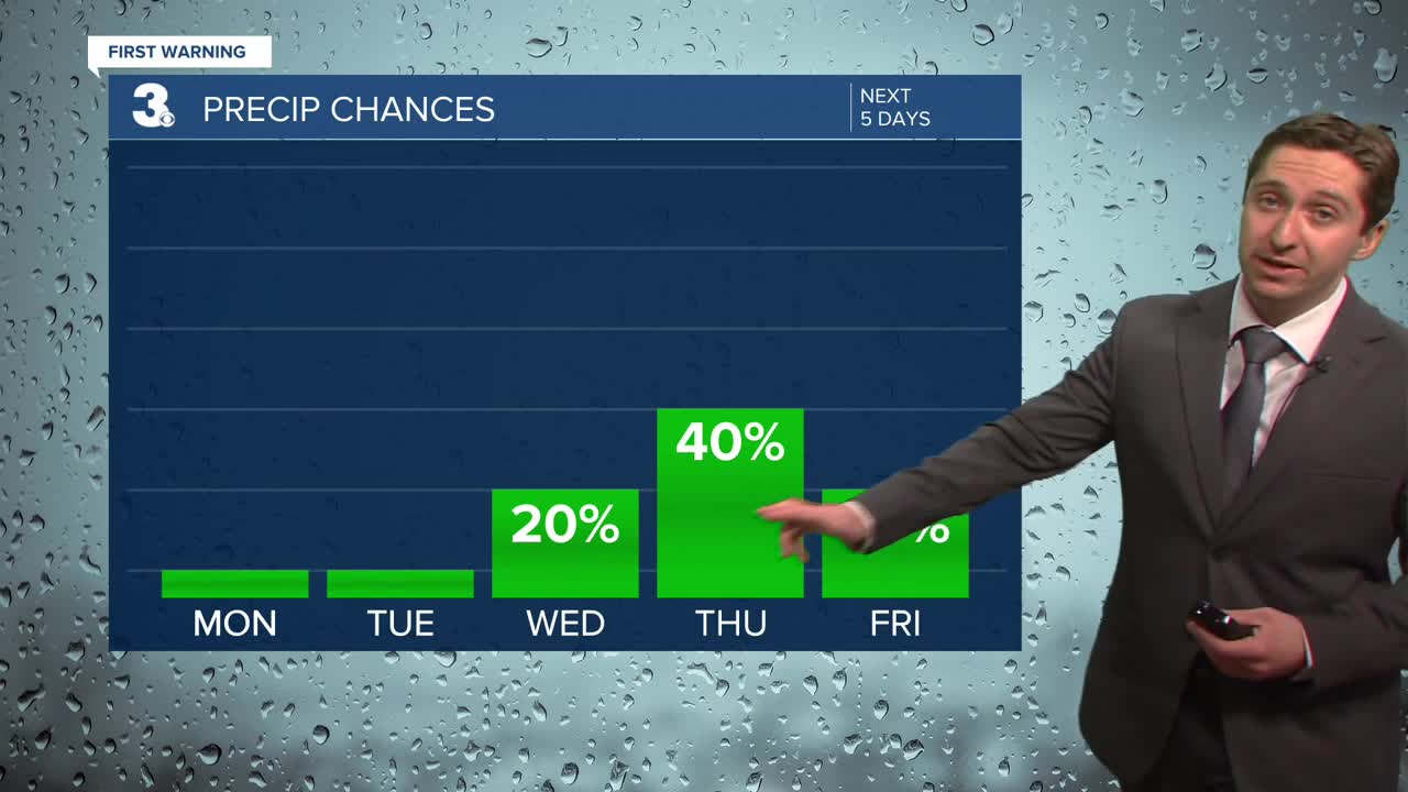
Mostly sunny again tomorrow with highs warming to the low and mid 50s. Clouds will start to build in on Wednesday with highs in the mid 50s. A few showers are possible Wednesday night.
Rain showers are possible on Thursday as a cold front moves in. As temperatures drop Thursday night we could see a change over to snow. Confidence in snow accumulation is low at this time. Skies should clear out Friday morning.
Today: Mostly Sunny. Highs upper 40s. Winds: NW/SW 5-10
Tonight: Clear Skies. Lows in the low 30s. Winds: SW 5-10
Tomorrow: Mostly Sunny. Highs in the low 50s. Winds: SW 5-10
Weather updates on social media:
Facebook: MylesHendersonWTKR
Instagram: @MylesHendersonWTKR
