


Meteorologist Myles Henderson’s First Warning Forecast
A nice start to the work week. Tracking rain for midweek with a cold front.
Mostly sunny skies today with highs in the upper 70s to low 80s. Mainly clear tonight with lows in the 60s to 50s.

Clouds will start to build in tomorrow, mostly sunny to partly cloudy skies. Highs will reach the low 80s.
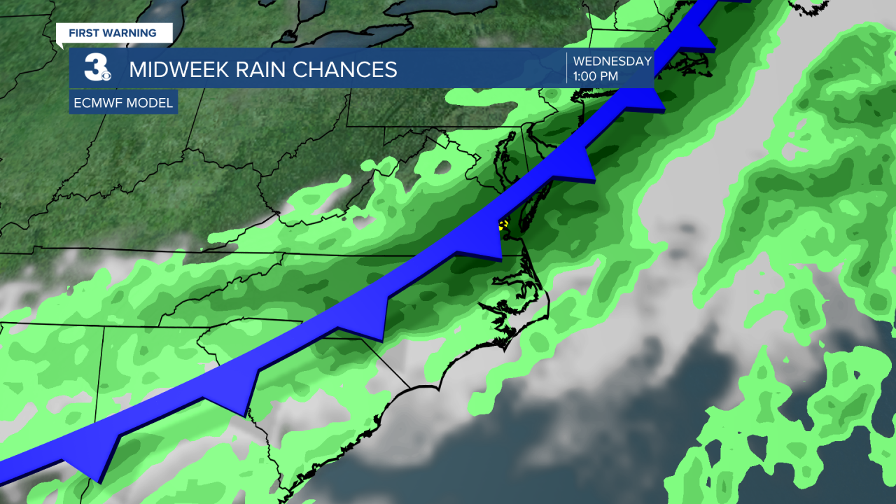
A cold front will move through the region on Wednesday. Expect mostly cloudy skies with scattered showers and storms. Highs will reach the mid 70s.
Cool air returns for the end of the week. Highs will dip to the upper 60s to near 70.
Today: Mostly Sunny. Highs in the upper 70s. Winds: SE 5-10
Tonight: Mainly Clear. Lows in the low 60s. Winds: SE 5-10
Tomorrow: Building Clouds. Highs in the low 80s. Winds: SE 5-10
Weather & Health
Pollen: Low-Medium (Ragweed, Grasses)
UV Index: 6 (Medium)
Air Quality: Good (Code Green)
Mosquitoes: High
Tropical Update
Tracking a broad area of low pressure several hundred miles SW of the Cabo Verde Islands. Environmental conditions appear conducive for gradual development of this system, and a tropical depression is likely to form by midweek as it moves quickly across the central tropical Atlantic.
* Formation chance through 48 hours: Medium (50%)
* Formation chance through 7 days: High (70%)

Weather updates on social media:
Facebook: MylesHendersonWTKR
Instagram: @MylesHendersonWTKR
