

Derrah Getter's First Warning Forecast
We’re stuck underneath the clouds again today as the gloomy drizzle continues.
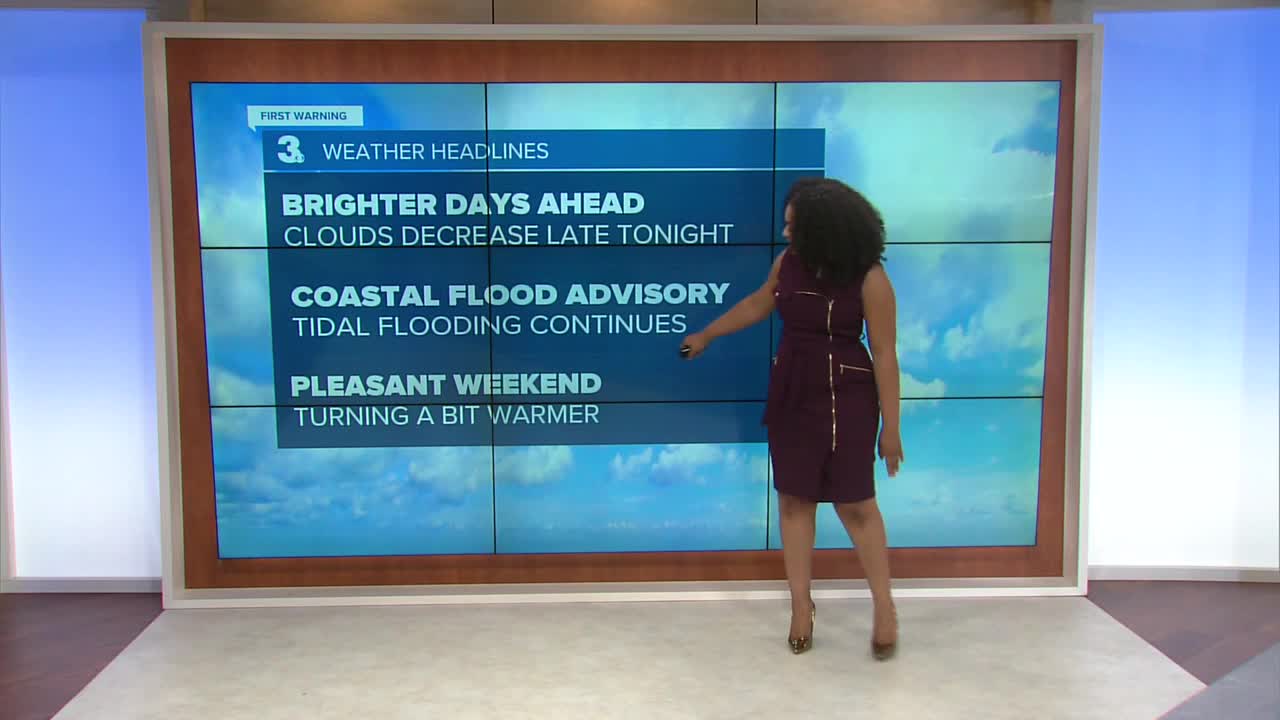
High temperatures struggle to reach the mid 70s. The clouds finally start to clear this evening. Despite the persistent mist over the past few days, we are still abnormally dry area wide. So far this month we’ve only seen about 0.39 inches of rain.

Northeasterly winds will keep the threat of tidal flooding around for the rest of the week. Minor flooding is expected this afternoon, and nuisance flooding will be a concern tonight.

A back door cold front approaches this weekend bringing the chance of a few spotty showers Saturday. Temperatures remain in the upper 70s and low 80s through the middle of next week.

2025 Atlantic Hurricane Season Update:
A tropical wave is forecast to emerge offshore of west Africa by Friday. Environmental conditions could support slow development of this system over the weekend and early next week.
Formation chance through 48 hours...LOW...near 0%
Formation chance through 7 days...LOW...30%

Let's connect on social media!
Forecaster Derrah Getter:
For weather updates on Facebook: HERE
For weather updates on X: HERE
Follow me on Instagram: HERE
Check out the Interactive Radar on WTKR.com: Interactive Radar
