

Derrah Getter's First Warning Forecast
Clouds overran the sunshine today. The gloomy conditions continue through the middle of this week.
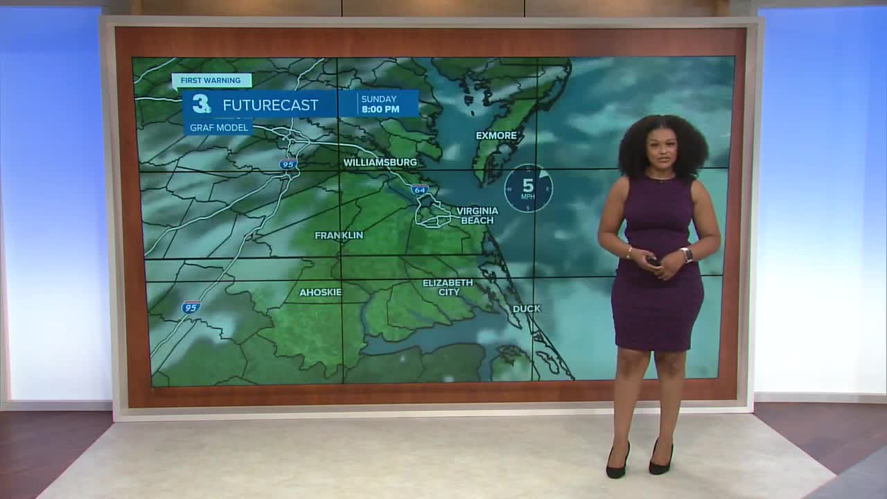
This evening, lows fall into the mid 60s underneath mostly cloudy skies.

Monday will feature a considerable amount of cloud cover with highs in the mid 70s. Scattered showers arrive late Monday night and linger into Tuesday.
A coastal low slides up the east coast bringing the highest rain chances to the area on Tuesday and Wednesday. There will also be minor tidal flooding Monday night and Tuesday.

The clouds and rain clear by the end of the week with the sunshine returning on Friday and Saturday.

2025 Atlantic Hurricane Season Update:
A tropical wave located over the eastern Atlantic is producing a large area of disorganized showers and storms. Dry and stable air is expected to hinder initial development, but a tropical depression could form by the mid to late week.
Formation chance through 48 hours...LOW...20%
Formation chance through 7 days...HIGH...70%

Let's connect on social media!
Forecaster Derrah Getter:
For weather updates on Facebook: HERE
For weather updates on X: HERE
Follow me on Instagram: HERE
Check out the Interactive Radar on WTKR.com: Interactive Radar
