


Derrah Getter's First Warning Forecast
This evening will be partly cloudy and mild. Lows tonight fall into the mid to upper 50s.
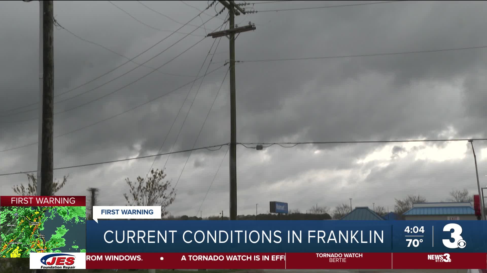
A level 4 out of 5 severe weather threat is in place for parts of the area Monday. The last time we saw level 4 threat was 5 years ago in 2021.

Widespread strong to severe storms will be capable of producing damaging wind gusts and tornadoes. Storms will start to intensify around noon and continue through 7 pm. Wind gusts 40-60+ mph will be possible.
Make sure you have a way to get weather alerts in your area. Highs will be in the 70s on Monday, which will help fuel the storms.

Behind the strong storm system, temperatures will be much cooler on St. Patrick’s Day Tuesday with highs in the 40s and 50s. Temperatures gradually rebound closer to average by the end of the week.

Let's connect on social media!
Forecaster Derrah Getter:
For weather updates on Facebook: HERE
For weather updates on X: HERE
Follow me on Instagram: HERE
Check out the Interactive Radar on WTKR.com: Interactive Radar
