



Derrah Getter's First Warning Forecast
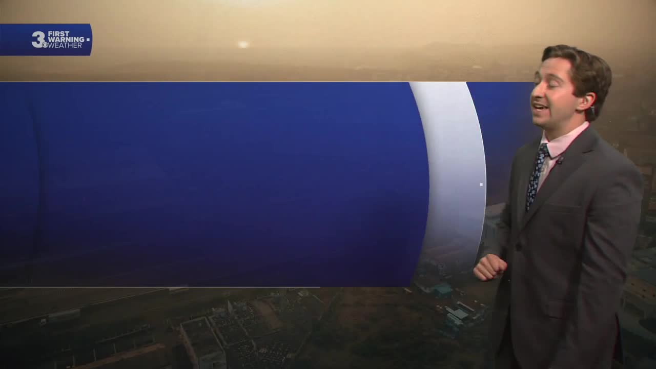
Wildfire smoke has created some hazy conditions in our skies today, and will likely linger for the next few days.

The heat cranks up today. Highs this afternoon will be in the mid 90s with heat index values near 105 degrees. We’ll see plenty of sunshine throughout the day. Tonight's lows will be in the low 70s.

Wildfire smoke will stay in place Thursday, with hazy conditions likely. We get even hotter Thursday. Highs will be in the upper 90s near 100 degrees. Feels like temperatures will be near 105.


This weekend, highs remain in the low to mid 90s with a few chances for scattered showers and storms. Storm chances linger into early next week.

Let's connect on social media!
Forecaster Derrah Getter:
For weather updates on Facebook: HERE
For weather updates on X: HERE
Follow me on Instagram: HERE
Check out the Interactive Radar on WTKR.com: Interactive Radar
