




Meteorologist Myles Henderson’s First Warning Forecast
Big temperature swings to end the week. Warming back to the 80s today, dropping to the 60s this weekend. A windy stretch of days starts this weekend.
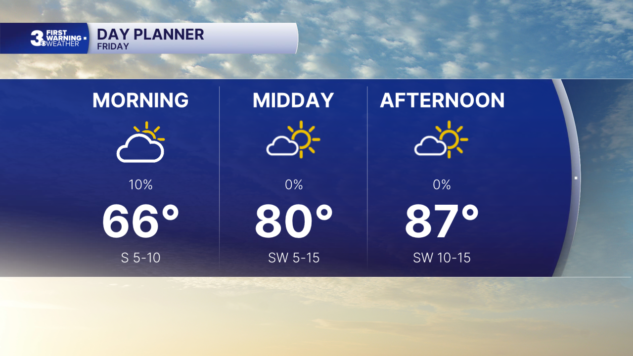
Warm again with highs in the mid to upper 80s, near our record high temperatures for this date. Expect clouds and fog to start the day but we will return to sunshine through the afternoon. A cold front moves in tonight and will bring in showers late, closer to midnight.
Get ready for a cool and windy weekend. Highs will drop to the low 60s on Saturday with mostly cloudy skies and scattered showers. It will be windy with a north wind at 15 to 25 and gusts 30 to 40 mph.
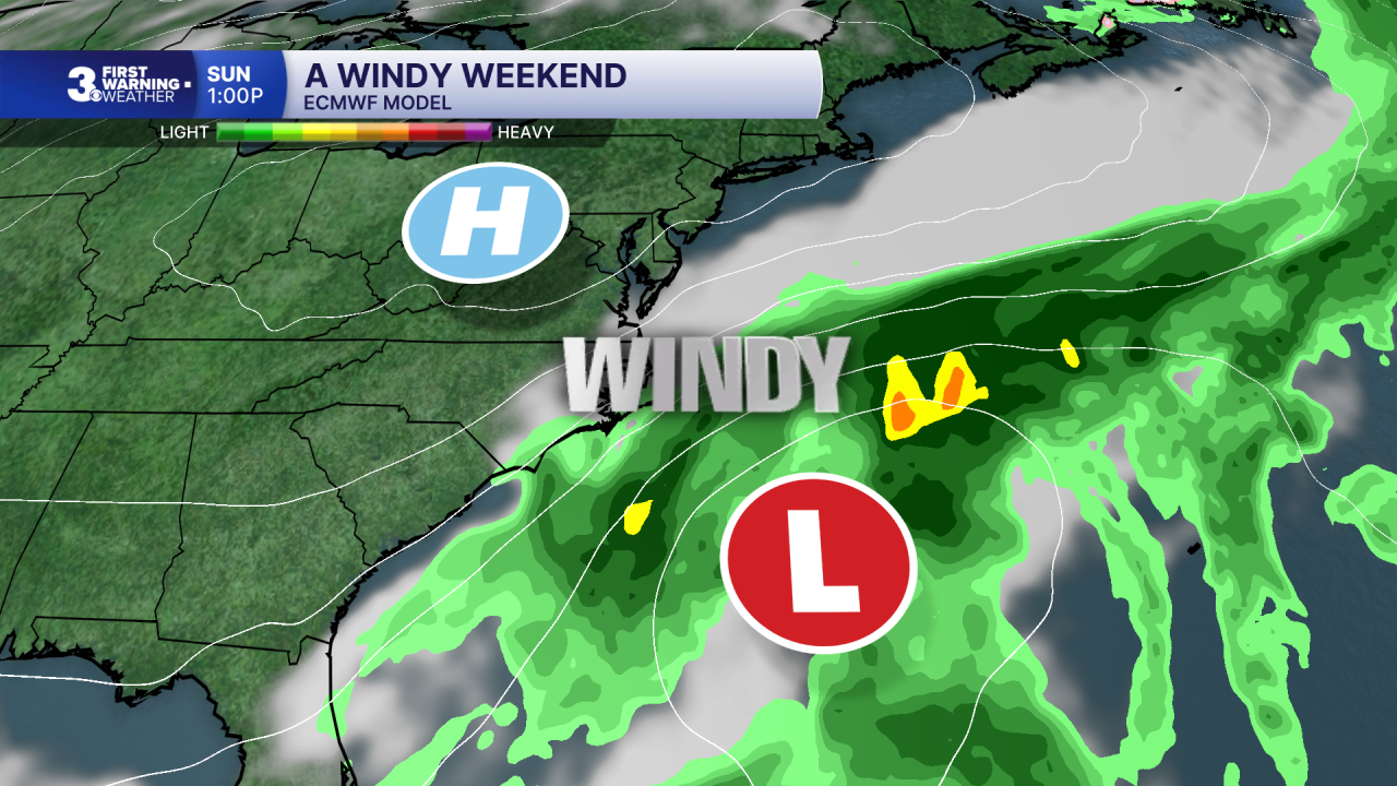
Highs will return to the low and mid 60s on Sunday with partly cloudy skies and lower rain chances. It will still be windy with a NE wind at 15 to 25 and gusts 30 to 40 mph.
The cool and windy stretch will continue for the first half of next week with highs in the mid to upper 60s and persistent N/NE winds at 10 to 20 mph.
Today: Back to Sunshine. Highs in the mid 80s. Winds: SW 5-15
Tonight: Partly Cloudy, Showers Late. Lows in the low 60s. Winds: N 10-20
Tomorrow: Mostly Cloudy, Showers, Windy. Highs in the low 60s. Winds: N 15-25 G35
Weather & Health
Pollen: Low-Medium (Ragweed)
UV Index: 5 (Medium)
Air Quality: Moderate (Code Yellow)
Mosquitoes: Extreme
Tropical Update
No tropical activity at this time
Weather updates on social media:
Facebook: MylesHendersonWTKR
Instagram: @MylesHendersonWTKR
