


Meteorologist Myles Henderson’s First Warning Forecast
Warming to the 60s. Shower return for Thursday. Back to the 50s this weekend.
A big step warmer today with highs reaching the mid 60s, about 15 degrees above normal for this time of year. We will see a mix of sun and clouds today with clouds clearing out this morning, more sunshine in the afternoon, and clouds returning tonight.

Thursday will be the warmest day of the week with highs in the upper 60s to near 70. Expect mostly cloudy skies tomorrow with scattered showers possible throughout the day. Winds will ramp up again, mainly south at 10 to 15 with gusts 20 to 25 mph.

Friday will be another nice day with a mix of sun and clouds. Highs will drop to the upper 50s and it will still be breezy.
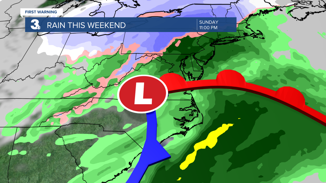
We are looking at a 50/50 weekend. Expect mostly sunny skies on Saturday, then mostly cloudy skies on Sunday with rain moving in. Highs will drop to the low and mid 50s this weekend, closer to normal for this time of year.
Today: Sun & Clouds. Highs in the mid 60s. Winds: W 5-15
Tonight: Partly to Mostly Cloudy. Lows in the mid 40s. Winds: E 5-10
Tomorrow: Mostly Cloudy, Showers, Breezy. Highs in the upper 60s. Winds: S 10-15 G25
Weather updates on social media:
Facebook: MylesHendersonWTKR
Twitter: @MHendersonWTKR
Instagram: @MylesHendersonWTKR
