


Meteorologist Myles Henderson’s First Warning Forecast
Much warmer and more humid to start the workweek. A midweek cold front brings in rain and a return to normal temperatures.
Feeling more like summer. Highs will climb to the low and mid 90s today, 15+ degrees above normal for this time of year. Expect mostly sunny skies with a few clouds mixing in.

Warm again tomorrow and Wednesday with highs in the low to mid 90s. Expect mostly sunny skies again and a slight SW breeze.
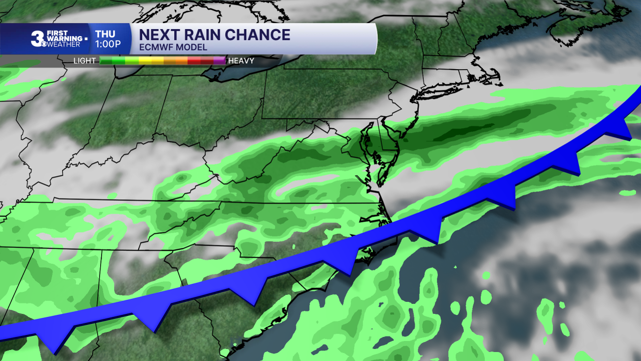
A cold front is set to move in on Thursday. We will see partly to mostly cloudy skies with scattered showers and isolated storms. Highs will drop to the mid 70s, a 20-degree cool down behind the front.
Highs will remain in the 70s to end the week, closer to normal for this time of year. We will be stuck in an unsettled weather pattern. Several days will have partly to mostly cloudy skies with scattered showers and storms.
Today: A Few Clouds. Highs in the mid 90s. Winds: SW 5-15
Tonight: A Few Clouds. Lows near 70. Winds: SW 5-15
Tomorrow: A Few Clouds. Highs in the mid 90s. Winds: SW 5-15
Weather & Health
Pollen: Medium-High (Trees & Grasses)
UV Index: 9 (Very High)
Air Quality: Moderate (Code Yellow)
Mosquitoes: High
Weather updates on social media:
Facebook: MylesHendersonWTKR
Instagram: @MylesHendersonWTKR
