

Derrah Getter's First Warning Forecast
Clouds increase today, rain returns tomorrow.
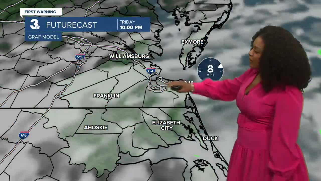
This afternoon, high temperatures will be in the upper 60s and low 70s. There will be some minor tidal flooding around noon. Clouds increase throughout the day. There’s a slight chance of spotty showers in the evening. Tonight, lows will be in the low 60s.

Mostly cloudy skies to get the day started Saturday. Rain chances will increase throughout the day. Highs reach the low 70s. By nightfall, we’ll be dealing with widespread showers and thunderstorms. Heavy rain this weekend will lead to additional flooding. Wind gusts of 55+ mph will be possible.

The rain lingers into the first part of Sunday with little clearing in the afternoon. The worst of the tidal flooding occurs Sunday afternoon around 2 pm.
Next week we will gradually get drier. Temperatures will be in the upper 60s and low 70s with more sunshine by the end of the week.

2025 Atlantic Hurricane Season Update:
Tropical storm Jerry is moving WNW near the Leeward Islands. It is forecast to become a hurricane by the end of the weekend. It is not expected to impact Hampton Roads.

Subtropical storm Karen has formed in the far northern Atlantic. It is forecast to continue moving northeast toward portions of Europe.

Let's connect on social media!
Forecaster Derrah Getter:
For weather updates on Facebook: HERE
For weather updates on X: HERE
Follow me on Instagram: HERE
Check out the Interactive Radar on WTKR.com: Interactive Radar
