


Meteorologist Myles Henderson’s First Warning Forecast
A cooler stretch of days this week. Tracking a coastal storm that could bring rain and wind for the weekend.
A step cooler today with highs in the upper 50s. We will see a mix of clouds with an isolated shower possible. It will be a bit breezy with a NW wind at 10 to 15 mph.

Even cooler tomorrow with highs in the mid 50s. We will see more sunshine tomorrow, but it will still be breezy.
A one-day warm up on Wednesday with highs reaching the mid to upper 60s. We will fall back to the mid 50s on Thursday.

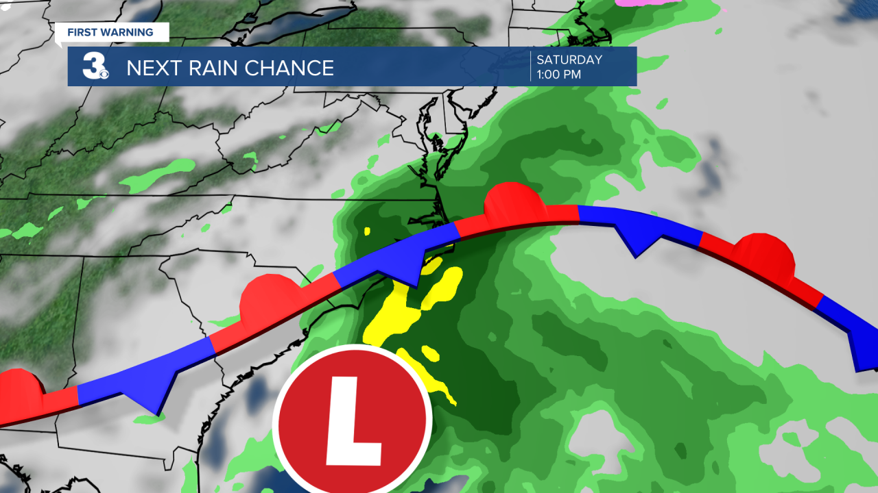
Rain will return for the end of the week. Showers will build in later on Friday and continue for the weekend as an area of low pressure slides up the Southeast coast. Winds will also ramp up, reaching 10 to 20 with gusts to 30+ mph.
Today: Mix of Clouds, Breezy. Highs in the upper 50s. Winds: NW 10-15
Tonight: Mix of Clouds, Breezy. Lows in the upper 30s. Winds: NW 10-15
Tomorrow: Mostly Sunny, Breezy. Highs in the mid 50s. Winds: W 10-15
Weather & Health
Pollen: Medium-High (Juniper, Birch, Sycamore)
UV Index: 8 (Medium)
Air Quality: Good (Code Green)
Mosquitoes: Low
Weather updates on social media:
Facebook: MylesHendersonWTKR
Instagram: @MylesHendersonWTKR
X (Twitter): @MHendersonWTKR
