


Meteorologist April Loveland's First Warning Forecast
A nice weekend before a soggy and cool stretch of weather.

This weekend will feature wall-to-wall sunshine on Saturday with highs in the upper 50s. More clouds cover will build in on Sunday, but the day is looking dry with highs in the low 60s.

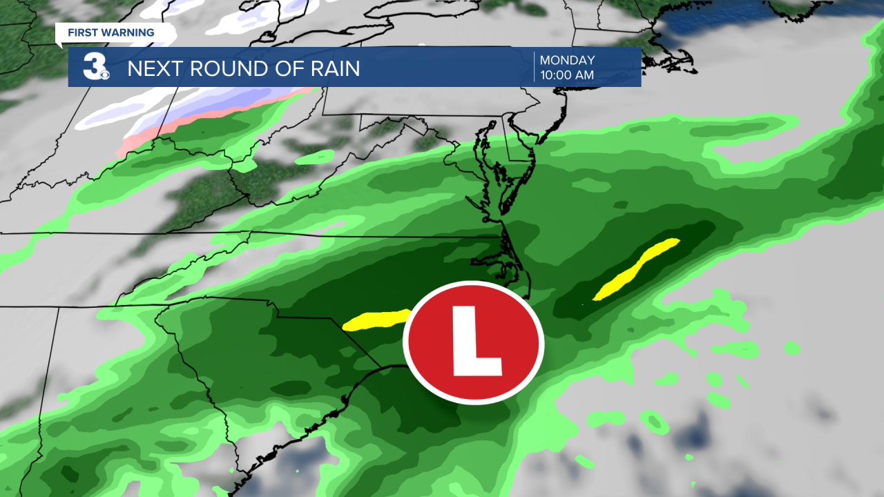
Rain chances will go up late Sunday into Monday. An area of low pressure will move in bringing showers to the area early Monday. Most of the wet weather will move out by the afternoon. Highs will warm to the mid 50s.
A cold front will move in late Monday bringing cooler air to the region on Tuesday. Highs will struggle to get out of the 40s. Keeping a chance for a few afternoon showers.
The rest of the week is looking unsettled and uncertain. It will be much cooler with highs in the 40s for the rest of the week. Several disturbances will move through keeping showers in the forecast almost everyday.
Many people have been asking about snow chances for the end of the week. Right now, the forecast is trending warmer, but want to keep the chance for a rain/snow mix late Thursday into early Friday. This will more than likely change, so stay tuned!
Meteorologist April Loveland
For weather updates on Facebook: HERE
Follow me on Twitter: HERE
Follow me on Instagram HERE
Check out the Interactive Radar on WTKR.com: Interactive Radar
