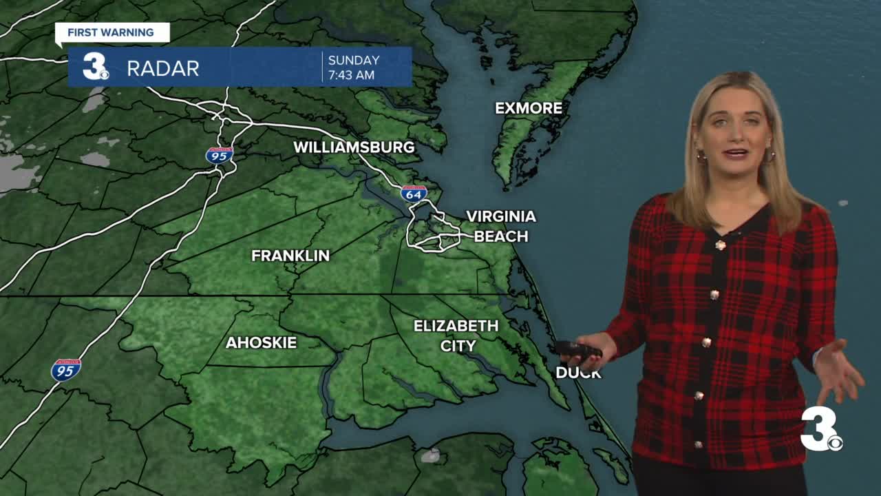


Meteorologist April Loveland's First Warning Forecast
Expect some sunshine to start the day today.
Clouds will build in by the afternoon and evening. Highs will only reach the mid to upper 30s. A few 40s will be possible in northeast North Carolina. Clouds will decrease overnight with lows falling into the mid 20s.
Partly cloudy to start the work week. We may have to deal with a little bit of ice on the roads, but temperatures will be warming above the freezing mark as the day progresses. Expect highs in the mid 40s.
This warming trend will continue as the week goes on. Partly cloudy on Tuesday with highs in the upper 40s.
Even warmer heading into Wednesday with highs the mid and upper 50s.
A cold front will bring rain chances to to the area on Thursday. It will be the warmest day of the week with highs warming into the low and mid 60s! Can you believe we went from extreme cold and snow over the weekend to the 60s?
Rain will be likely to end the work week. Temperatures will be a bit cooler, but still above normal. Expect highs in the mid 50s.
The Polar Plunge is Saturday and looks like our temperatures will be plunging as well. Highs will be in the upper 30s under partly cloudy skies.
Meteorologist April Loveland
For weather updates on Facebook: HERE
Follow me on Twitter: HERE
Follow me on Instagram HERE
Check out the Interactive Radar on WTKR.com: Interactive Radar
