


Meteorologist April Loveland's First Warning Forecast
**FREEZE WARNING in effect from 11 PM this evening to 8 AM EST Thursday for Gates, Pasquotank, Camden, Western Currituck, Mainland Dare, Chowan, Perquimans, Gloucester, Mathews, Surry, James City, Isle of Wight, Norfolk/Portsmouth, Suffolk, Chesapeake, Virginia Beach, Accomack, Northampton, York, Newport News, Hampton/Poquoson.
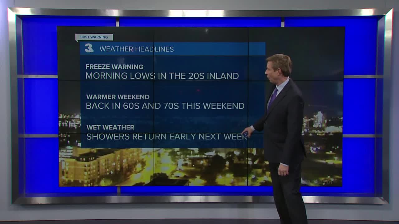
**Sub-freezing temperatures as low from 27 to 32 expected overnight and Thursday morning.
**IMPACTS: Frost and freeze conditions will kill crops, other sensitive vegetation and possibly damage unprotected outdoor plumbing.
Tracking another bitterly cold night with lows in the upper 20s and 30s.
Conditions will continue to remain dry through the end of the week. Expect highs on Thursday in the mid and upper 50s. Milder on Friday with highs in the mid 60s under mostly sunny skies as Canadian high pressure remains in control.
The weekend looks dry and milder with highs in the mid and upper 60s on Saturday to near 70 on Sunday under mostly sunny skies.
Rain chances will increase on Monday and Tuesday with scattered showers possible. Temperatures will warm to the upper 60s on Monday and upper 50s on Tuesday, so expect a 10 degree difference between the days.
Meteorologist April Loveland
For weather updates on Facebook: HERE
Follow me on Twitter: HERE
Follow me on Instagram HERE
Check out the Interactive Radar on WTKR.com: Interactive Radar
