


Meteorologist April Loveland's First Warning Forecast
A return to the 90s today. After two days with highs below the 90-degree mark, we'll make a return today with highs in the low 90s. Dewpoints will also creep up a bit into the upper 60s, making it feel closer to the mid 90s. We will see more smoke in the air from the wild fires out west, so once our clouds clear a bit this morning, there will still be a haze to the sky. Air quality will be reduced today. While most of the day will be dry with clearing skies, a cold front will approach from the northwest. This will bring the chance for a few storms late in the afternoon across the Peninsulas and Eastern shore down into the Southside. Storms could be strong to severe, with damaging winds the biggest threat. Storms will move south across the area through the evening and then we'll dry out tonight with lows in the low 70s.

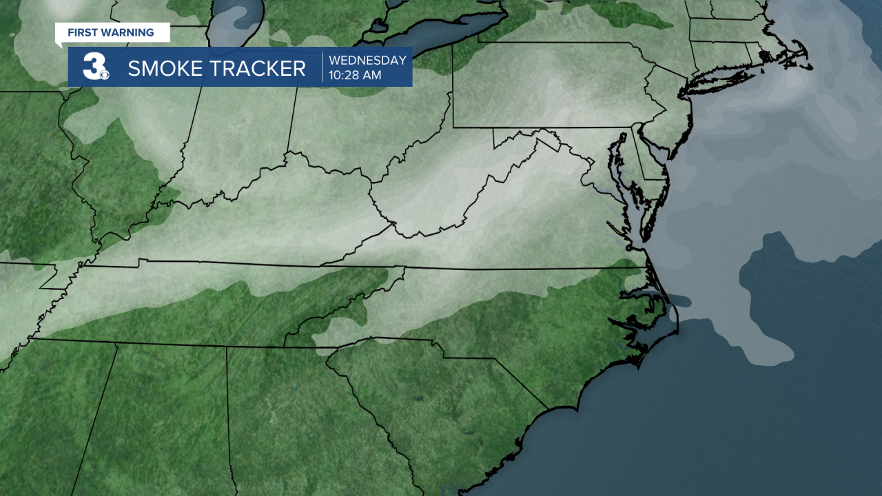
The wildfire smoke should continue and will be most likely for the next week or so. More sunshine will break out starting Thursday as highs will be a bit cooler and in the mid 80s. Dewpoints will also be lower, mainly in the low 60s. We'll end the work week with isolated storms Friday with highs in the upper 80s. The weekend will feature isolated storm chances with highs in the mid 80s and low 90s.
Weather & Health
Pollen: Low (Grasses)
UV Index: Low
Air Quality: Good (Code Green)
Mosquitoes: Extreme
Tropical Update
No activity for the next 2 days
Meteorologist April Loveland
For weather updates on Facebook: HERE
Follow me on Twitter: HERE
Follow me on Instagram HERE
Check out the Interactive Radar on WTKR.com: Interactive Radar
