


First Warning Forecast
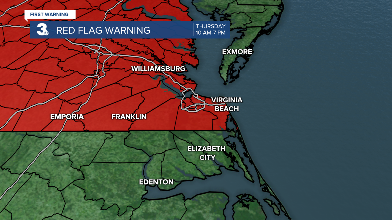
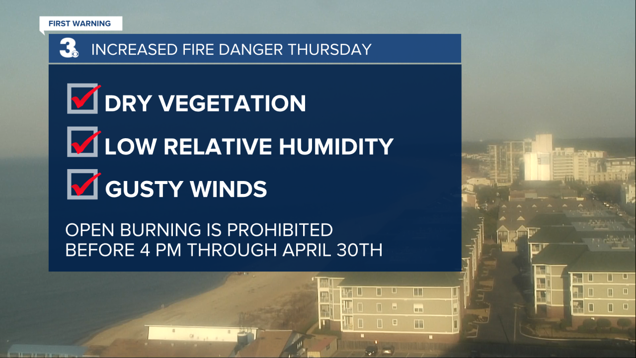
RED FLAG WARNING in effect from 10 a.m. to 7 p.m. Thursday.
A very warm, dry and windy Thursday is getting underway with highs near 74. Weather conditions favor a fire threat across much of the region. Outdoor burning is discouraged.
Friday should be our warmest day of the week with highs in the mid/upper 70s.
A big cool down heading into Saturday with highs in the low and mid 50s with more clouds than sunshine.
Don't forget before you head to bed Saturday to turn your clocks forward one hour. Daylight Saving Time begins on Sunday, March 14th at 2 AM. Sunday will be a few degree milder with highs in the mid 50s under mostly cloudy skies.
Much cooler and wetter conditions next week with showers expected Monday, Tuesday and Wednesday.
