


Meteorologist Myles Henderson’s First Warning Forecast
A much cooler end to the week. More clouds and scattered showers this weekend.
Much cooler today with highs in the mid 60s. Expect cooler temperatures near the coast and warmer temperatures inland. We will see a mix of partly to mostly cloudy skies today with spotty showers possible.

Highs will return to the mid 60s on Saturday. We will see the mix of clouds with scattered showers. An isolated storm is possible.
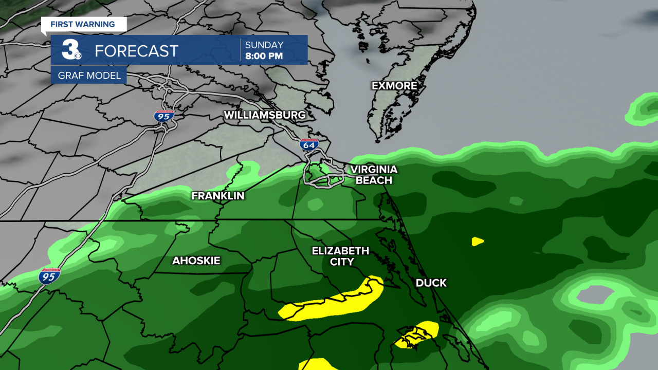
Temperatures will struggle to reach the 60s on Sunday. Expect sunshine in the morning with clouds rolling in by midday. Showers will build in Sunday afternoon to evening. Expect higher rain chances south and lower rain chances north.
Showers should move out early Monday morning and we will see clearing skies to start the workweek. Highs will return to the low 60s.
Today: Mix of Clouds, Spotty Showers. Highs in the mid 60s. Winds: E 5-10
Tonight: Mix of Clouds, Spotty Showers. Lows in the mid 50s. Winds: E/S 5-10
Tomorrow: Mix of Clouds, Scattered Showers. Highs in the mid 60s. Winds: E/NE 5-10
Weather & Health
Pollen: High (Oak, Sweet Gum, Sycamore)
UV Index: 5 (Moderate)
Air Quality: Good (Code Green)
Mosquitoes: Low
Weather updates on social media:
Facebook: MylesHendersonWTKR
Instagram: @MylesHendersonWTKR
X (Twitter): @MHendersonWTKR
