


Chief Meteorologist Patrick Rockey’s First Warning Forecast
Technically, it's still winter. But, believe it or not, we have some almost summer-like temperatures on that way. Thankfully, we're not expect summer-like humidity!
A broad area of high pressure over the southeast will continue to pump in some very mild weather over the next few days. Most of us will climb into the upper 70s. But a few spots on Thursday and Friday will likely make it into the lower 80s!

But, typically, our warmest temperatures arrive just before a cold front. And that front will move through on Friday evening.
Ahead of the cold front, we'll see an increase in clouds with a chance for a few showers, mainly in the late afternoon and evening on Friday.
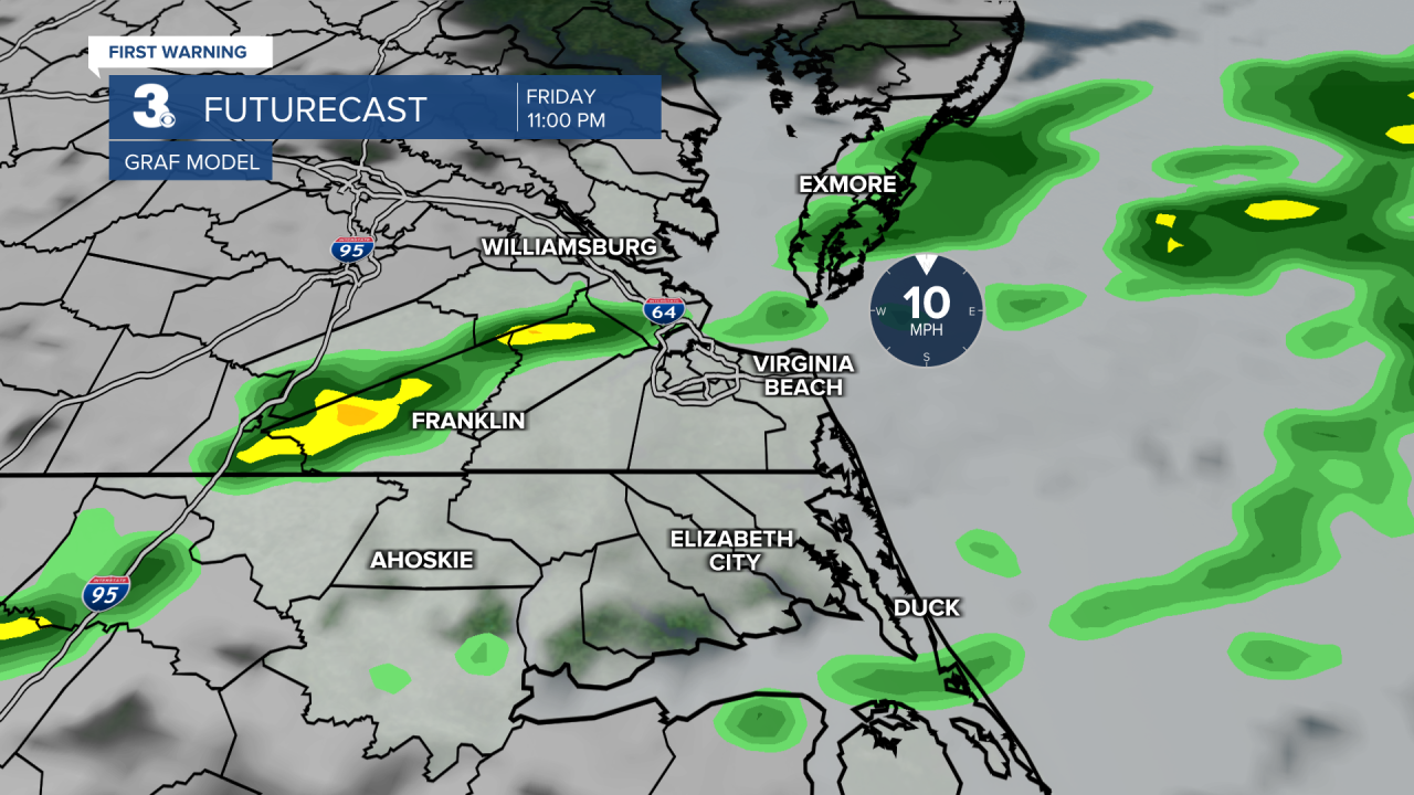
A few of the showers could linger after midnight. But we're expecting that Saturday will be dry and cooler. Expect highs in the low-to-mid 60s.
Temperatures climb again on Sunday ahead of another cold front. This cold front probably won't have as much moisture to work with. So we've lowered our rain chances to 20% for St. Patrick's Day.

Behind that cold front, sharply cooler weather will take hold for the first week of spring. In fact, we may not even make it out of the 40s on Tuesday, the first day of spring!
