

Chief Meteorologist David Aldrich's First Warning Forecast
With mostly clear skies tonight and a southwest wind, temperatures overnight should dip into the 30s.
Saturday will feature a blend of sun and clouds, but milder air will develop under a southwest breeze and highs in the upper 50s to near 60 degrees.
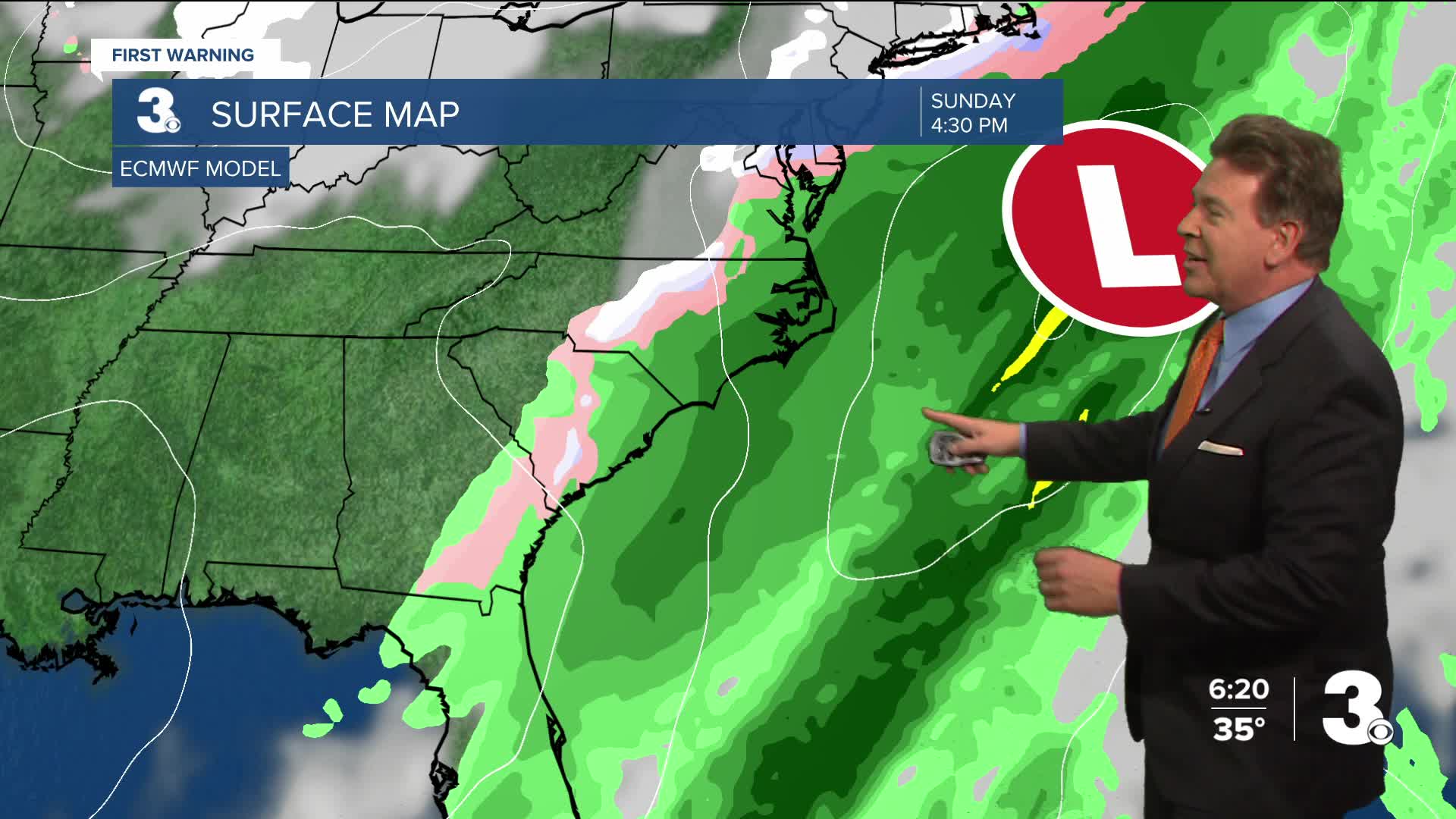
Right now, a storm system I call a "Southern Slider" will advance up from the Eastern shore of Florida and ride up the coast on Sunday. This will bring about a half inch of cold rain across the 757 and into Northeast North Carolina. Because temperatures will vary across the region at this time, some areas, especially in the Peninsulas and along the Eastern Shore, could receive a rain with a snow mix. No shovel required, in my view, but a brush to wipe away the slush may be needed.
Looking ahead to next week, the cold winter air is reinforced, despite bright sunshine, with highs in the mid 40s on Dr. King Day and highs in the mid 30s on Tuesday, the day after.


Weather updates on social media:
Facebook: AldrichWeather
Instagram: @davidaldrichweather
X (Twitter): @AldrichWeather
