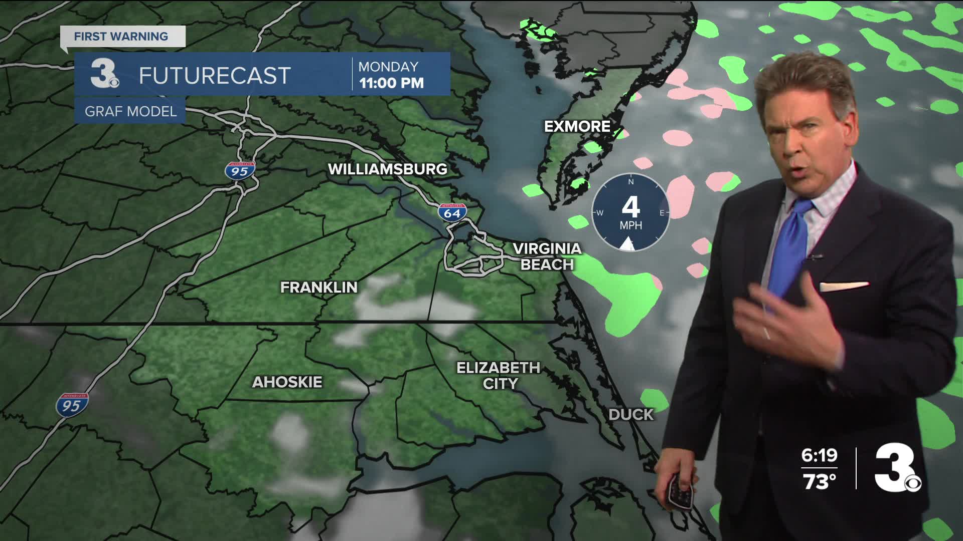


Chief Meteorologist David Aldrich's First Warning Forecast
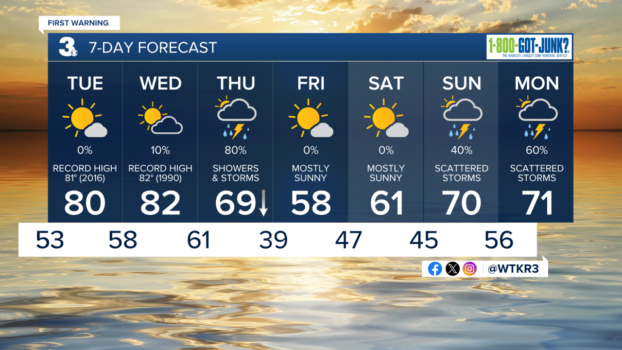
With overnight lows in the 40s and 50s, look for some patchy fog to re-appear by morning.
Near record high temperatures are on the way for both Tuesday and Wednesday. Tuesday's record high is 10 years old in Norfolk, for example, dating back to 2016, at 81 degrees.
Wednesday's record high in Norfolk is a bit older, 36 years old, dating back to 1990, at 82 degrees. Both record highs are in jeopardy of falling. If you recall, we had some record highs earlier this year back on the January 9th and 10th.
Best chance of rain will return on Thursday with falling temperatures. Showers and storms should arrive shortly after sunrise on Thursday morning.
Looking ahead to the weekend, Friday and Saturday look mostly sunny, but cooler and showers and storms are likely to return in scattered form on Sunday.


Weather updates on social media:
Facebook: AldrichWeather
Instagram: @davidaldrichweather
X (Twitter): @AldrichWeather
