

Chief Meteorologist David Aldrich's First Warning Forecast
With scattered clouds tonight, expect another cold morning on Friday with low temperatures dropping into the 20s.
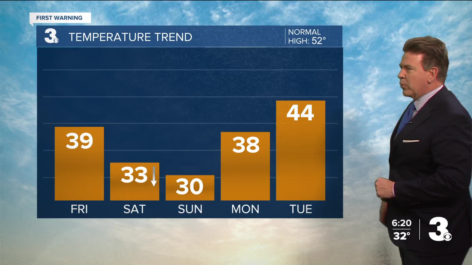
Friday should start with bright sunshine, highs near 40 degrees, but clouds are likely to increase for the afternoon in your neighborhood before a few snow and rain showers move in from the Northwest.
With a downsloping wind, and temperatures in the mid 30s when and if it falls, zero accumulation is expected. Some may barely get even a few flurries.
The real arctic blast should arrive by sunrise Saturday. Temperatures will fall throughout the day on Saturday with early morning highs in the lower to mid 30s and falling rapidly.
Gusts on Saturday: 40 to 55 + mph
Gusts on Sunday: 30 to 35 mph
Super Bowl Sunday will also be colder with morning lows around 14 degrees and highs near 30 degrees.
Looking ahead to next week, WARMER days are coming, especially on Tuesday and Wednesday with highs reaching into the 40s and 50s, respectively.


Weather updates on social media:
Facebook: AldrichWeather
Instagram: @davidaldrichweather
X (Twitter): @AldrichWeather
