


Meteorologist Myles Henderson’s First Warning Forecast
A warm end to the week with highs in the 70s. Tracking showers to start the weekend. Cooler air returns for next week.
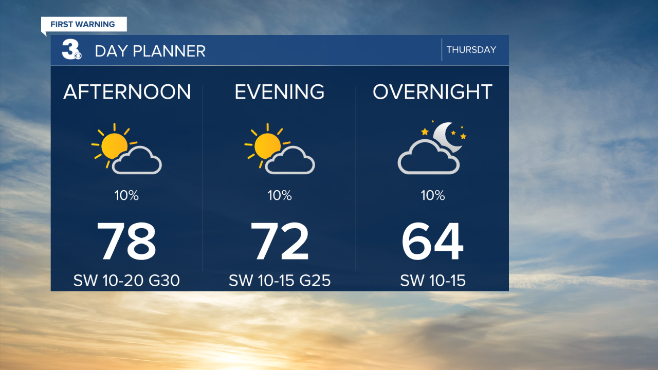
Even warmer today with highs climbing to the upper 70s, about 15 degrees above normal for this time of year. We will see a mix of sun and clouds with slim rain chances. It will be windy today with SW winds at 10 to 20 and gusts to 30 mph.
Get ready for a unique temperature trend for Friday. We will warm to the mid 70s by midday with SW winds. Winds will shift to the NE in the afternoon, driving in cooler air. Temperatures will fall into the 60s and even 50s, especially for our northern locations. Expect a mix of clouds Friday with a few scattered showers possible, mainly on the Peninsulas and Eastern Shore.

Highs will return to the upper 70s on Saturday with strong SW winds. Expect partly to mostly cloudy skies with scattered showers, mainly in the afternoon.

Sunshine is back for Sunday with highs near 70 and light winds. Rain will return to start next week with highs in the low 60s.
Today: Partly Cloudy, Windy. Highs in the upper 70s. Winds: SW 10-20G30
Tonight: Partly Cloudy, Windy. Lows in the low 60s. Winds: SW 10-20
Tomorrow: Partly Cloudy, Scattered Showers. Highs in the mid 70s. Winds: SW/NE 10-15
Weather & Health
Pollen: Medium-High (Juniper, Birch, Sycamore)
UV Index: 6 (High)
Air Quality: Good (Code Green)
Mosquitoes: Low

Weather updates on social media:
Facebook: MylesHendersonWTKR
Twitter: @MHendersonWTKR
Instagram: @MylesHendersonWTKR
