



Meteorologist Tony Nargi's First Warning Forecast
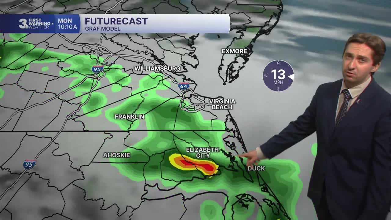
Today will start off cloudy with widespread showers and storms moving through the region. Temperatures will start in the mid 70s but only reach the low 80s for highs this afternoon. Showers and storms will slowly taper off from North to South this afternoon, with clouds sticking around overnight. Winds will be out of the ENE at 10-15 mph. Overnight some more rain will build back into the picture after 3 AM.

Tomorrow morning will start off with scattered showers and isolated storms along with cloudy skies. Temperatures will start in the low 70s, with high temperatures only reaching the low to mid 80s by the afternoon. Winds will be out of the NE at 10-20 mph. Showers will taper off by the afternoon and some partial clearing is expected towards sunset. Overnight skies will stay partly cloudy with drier conditions persisting.

On Tuesday some sunshine returns, with partly cloudy to mostly sunny skies expected along with high temperatures reaching the mid 80s. Temperatures will start to climb on Wednesday, with a return to the 90s and heat indices reaching near 105 degrees. We'll see mostly sunny skies on Wednesday and humid conditions as well.

Later this week temperatures will continue to stay warm in the 90s, with heat indices in the 100s. There will be some storm chances towards the weekend, and severe threat looks possible on Friday.

Weather updates on social media:
