

Meteorologist Tony Nargi's First Warning Forecast
Today will start off with a few clouds followed by sunny skies. It will be on the cooler side, with high temperatures in the low to mid 60s. Winds will be out of the NE at 10-20 mph. Some nuisance tidal flooding is possible during the 7 AM and 7 PM tide cycles. Overnight lows will drop into the 40s.

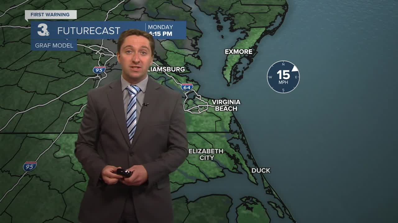
Tomorrow will start off with a few clouds moving through, with a 20% chance of a stray shower during the morning (particularly for western locations) followed by partly cloudy skies. Highs will be a step warmer in the upper 60s to mid 70s, with cooler conditions along the immediate coastline. Winds will be out of the E at 5-15 mph. Overnight lows will only drop into the 50s as clouds build.

Wednesday will be mostly cloudy with high temperatures reaching the mid 70s. Thunderstorms will develop during the afternoon, with a low end risk for severe storms. There is still a bit of uncertainty with Wednesday's severe weather setup, but there may have to be upgrades to the risk level as we get closer. Storms will turn to showers overnight that will taper off by early Thursday morning.


Dry and cooler weather conditions are expected Thursday and Friday, with our cooler pattern that's taking shape staying in place through the weekend.

Weather updates on social media:
