


Meteorologist Myles Henderson’s First Warning Forecast
Slowly warming up this week, back to the 60s. Tracking rain for the end of the week. Windy to start the weekend.
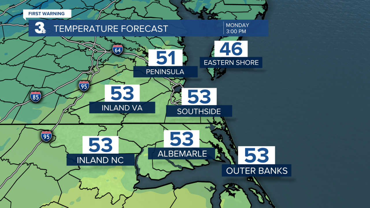
Expect mostly sunny skies today with highs in the low to mid 50s. Clouds will build in tonight with lows in the upper 30s.
Expect partly cloudy skies tomorrow with highs in the mid to upper 50s. Clouds will clear out for Wednesday with highs in the upper 50s. Travel weather looks nice for most of the Mid-Atlantic and East Coast.
Highs will reach the upper 50s on Thanksgiving, very close to normal for this time of year. Expect partly cloudy skies during the day with more clouds building in after sunset.

Our biggest rain chance for the week is Friday as a cold front and area of low pressure move through. Expect mostly cloudy skies with scattered showers throughout the day. Rain should move out later Friday or early Saturday, but the wind will crank up. Expect west winds at 15 to 25 with gusts to 35 mph on Saturday.

Today: Mostly Sunny. Highs in the low 50s. Winds: E/S 5-10
Tonight: Partly Cloudy. Lows in the upper 30s. Winds: S/W 5-10
Tomorrow: Partly Cloudy. Highs in the mid 50s. Winds: N/E 5-10
Weather & Health
Pollen: Low (Mixed)
UV Index: 3 (Moderate)
Air Quality: Good (Code Green)
Mosquitoes: Low
Tropical Update
No tropical activity at this time
Weather updates on social media:
Facebook: MylesHendersonWTKR
Twitter: @MHendersonWTKR
Instagram: @MylesHendersonWTKR
