

Meteorologist Tony Nargi's First Warning Forecast
Today will be a great start to the weekend, with cool temperatures in the morning bouncing back to the low to mid 60s by the afternoon. We'll see plenty of sunshine, along with light winds out of the W at 5-10 mph. The Atlantic will be a bit choppy today, with 3 to 5 foot waves expected. Overnight temperatures will fall back down into the 40s and pockets of 30s inland with clear skies expected. Patchy frost is possible.

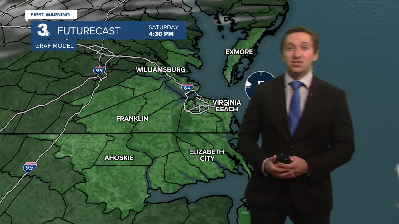
Tomorrow will start off sunny with increasing clouds expected. Don't forget to change those clocks back an hour! During the afternoon some isolated showers are possible as a coastal low moves closer. Highs will reach the mid 60s with winds out of the E at 5-15 mph. Isolated showers will become more widespread during the evening, with steady rain expected overnight into Monday morning. Winds will pick up out of the NE at 10-20 mph. Monday will start off with rain and windy conditions, with rain tapering off from southwest to northeast during the late morning through the early afternoon. Highs will reach the low to mid 60s, with clear skies emerging by the end of the day.


The rest of the week will be mainly dry and seasonable. Partly cloudy to mostly sunny skies are expected, along with temperatures slightly below normal in the low to mid 60s.

Weather updates on social media:
