


Meteorologist Myles Henderson’s First Warning Forecast
Several rain chances this week. Highs in the 50s to 60s all week.
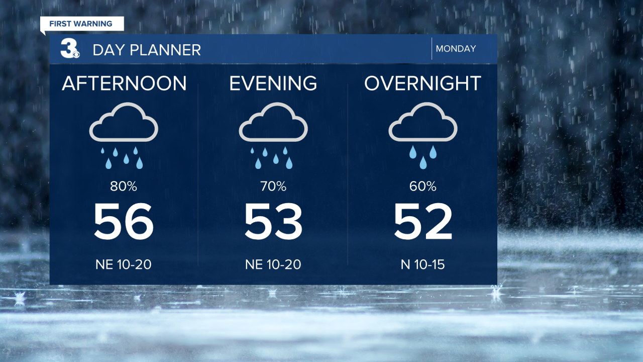
Clouds and rain will build in this morning as an area of low pressure along the NC coast drifts north. Expect widespread rain by midday and through the afternoon with NE winds kicking up, 10 to 20 mph. Showers will taper off tonight with clearing overnight.
A mix of clouds tomorrow with highs in the low to mid 60s and light winds. Rain returns on Wednesday and the wind will pick up again as a cold front builds through from west to east. Highs will return to the mid 60s.

We will dip back into the 50s to finish up the work week with a mix of partly to mostly cloudy skies. Another round of rain is set to move in to start the weekend.
Today: Rain, Windy. Highs in the mid 50s. Winds: NE 10-20
Tonight: Showers, Breezy. Lows near 50. Winds: NE 10-15
Tomorrow: Mix of Clouds. Highs in the mid 60s. Winds: W 5-10
Weather & Health
Pollen: Medium (Juniper, Maple, Ash)
UV Index: 2 (Low)
Air Quality: Good (Code Green)
Mosquitoes: Low
Weather updates on social media:
Facebook: MylesHendersonWTKR
Instagram: @MylesHendersonWTKR
X (Twitter): @MHendersonWTKR
