



Meteorologist Tony Nargi's First Warning Forecast
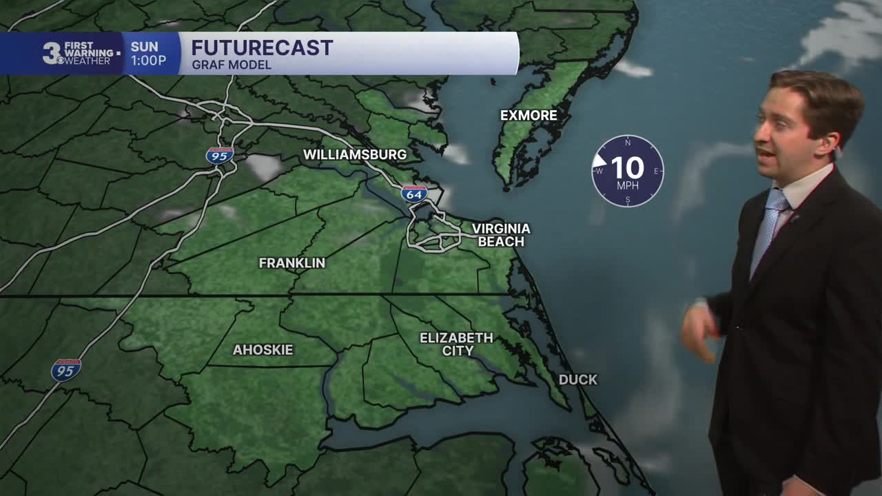
Today will start out with a few leftover clouds followed by mostly sunny skies. High temperatures will reach the upper 80s, with winds out of the W/SW at 5-10 mph. An isolated storm is possible on the Outer Banks this afternoon. Overnight lows will drop into the 60s inland and 70s at the coast with mostly clear skies.

Tomorrow will start out sunny, with partly cloudy skies emerging by the afternoon. High temperatures will reach the upper 80s. Isolated storms are possible during the afternoon, with a 20-30% chance of rain expected. Winds will be light out of the W at 5-10 mph.

Tuesday will feature dry conditions and plentiful sunshine. High temperatures will reach the mid 80s. On Wednesday we'll see some isolated PM thunderstorms with highs in the mid to upper 80s.
Later this week more widespread rain returns to the forecast. Thursday will feature on and off showers/storms, with scattered PM storms possible Friday and Saturday.

TROPICS: We're still watching the area of interest moving into the Main Development Region of the Atlantic. This area has been upgraded to a 50% chance of development and may be our first named storm to originate from the area this season. The other areas of interest (one east of Bermuda and one west of Portugal) pose no threat to the US.

Weather updates on social media:
