

Meteorologist Tony Nargi's First Warning Forecast
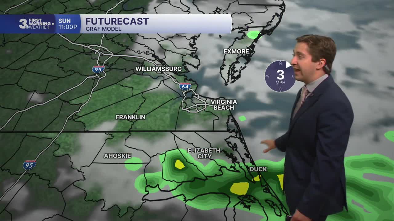
Today will start in the mid 70s with mostly cloudy skies and stray showers. High temperatures will reach the mid 80s, with humid conditions as well. We'll see another round of showers and storms this afternoon, with an isolated severe storm possible. Winds will be out of the W at 5-15 mph, turning NE at 5-15 mph later today. Overnight showers will linger in North Carolina, before dry weather arrives after midnight. Lows will drop into the 70s.


Tomorrow morning will start off cloudy with isolated sprinkles and fog possible. Clouds will slowly clear out throughout the day, with mostly sunny skies finally emerging by the late afternoon. We'll see high temperatures in the low 80s, with a drop in humidity as well. Winds will be out of the NE at 10-15 mph. Overnight will be clear and cooler with lows dropping into the 60s to around 70.

Tuesday will be dry and mostly sunny, beginning a stretch of heat, humidity, and sunshine. High temperatures Tuesday will reach the mid to upper 80s. On Wednesday, high temperatures will climb into the 90s, with heat index values climbing over 100 degrees. Heat indices will stay in the 100s Thursday, and hot conditions are expected to last through the holiday weekend.

Weather updates on social media:
