

Derrah Getter's First Warning Forecast
There’s more clouds around today ahead of our next cold front. A light breeze out of the southwest is causing milder temperatures this afternoon in the upper 50s. Light spotty showers will linger throughout the day. As temperatures fall tonight, the rain transitions into a wintry mix Thursday morning.

Highs struggle to reach 40 degrees on Thursday. Skies clear out by the afternoon. The day will be breezy with winds gusting up to 25 mph.

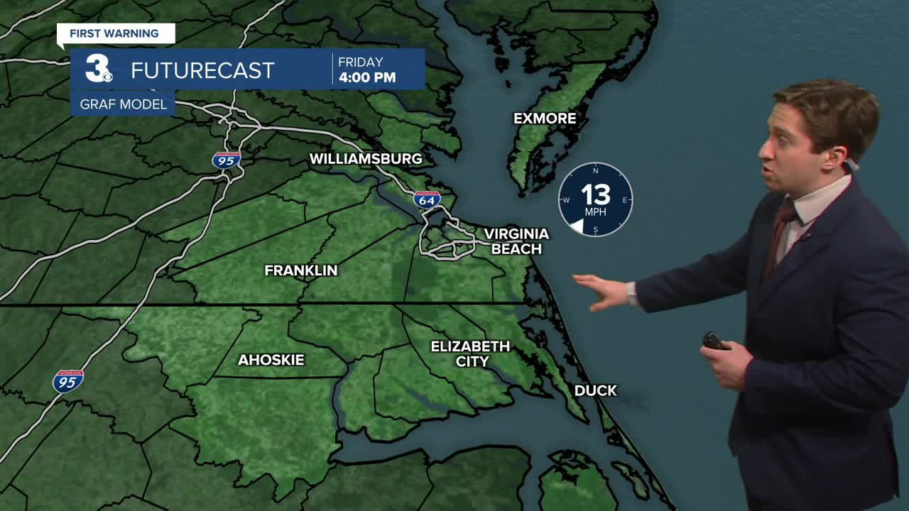
We end the work week and begin the holiday weekend on a sunny note. Temperatures hover in the 40s and 50s. Another system brings cooler air on Sunday and a chance of snow showers Sunday night.

Let's connect on social media!
Forecaster Derrah Getter:
For weather updates on Facebook: HERE
For weather updates on X: HERE
Follow me on Instagram: HERE
Check out the Interactive Radar on WTKR.com: Interactive Radar
