

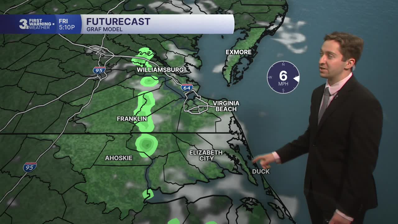


Meteorologist Tony Nargi's First Warning Forecast
This evening will be lovely with temperatures dropping into the 70s with light winds. We'll see mostly clear skies overnight with lows in the mid 60s to low 70s.

Tomorrow will be another great day, with mostly sunny skies expected once again. Temperatures will start in the 70s and reach the 80s by midday, with high temperatures in the mid to upper 80s. There is a slim (10%) chance of a stray afternoon shower. Winds will be light out of the NE at 5-10 mph. Dew points will stay comfortable in the mid 60s, meaning humidity won't be a big factor. Overnight skies will be mostly clear with lows in the upper 60s to low 70s.

This weekend will be fairly nice, with partly cloudy skies expected on Saturday along with just a 10% chance of rain. High temperatures will reach the upper 80s to around 90 on Saturday, with winds out of the S at 10-15 mph. On Sunday we'll see partly cloudy skies to start with mostly cloudy skies developing during the afternoon. Humidity will be noticeably higher Sunday, with dew points in the low 70s. Scattered storms are possible during the late afternoon and evening, with a 40% chance of rain.


Our next rainmaker arrives on Monday, with showers and storms likely throughout the day. We'll see very humid conditions Monday and Tuesday, with high temperatures in the low to mid 80s and dew points in the mid 70s. Showers clear out Tuesday afternoon, but more summertime storms are likely Wednesday and Thursday as humid conditions stick around.

Weather updates on social media:
