

Derrah Getter's First Warning Forecast
We’re not done with the precipitation just yet. Another round of rain and ice moves in tonight.

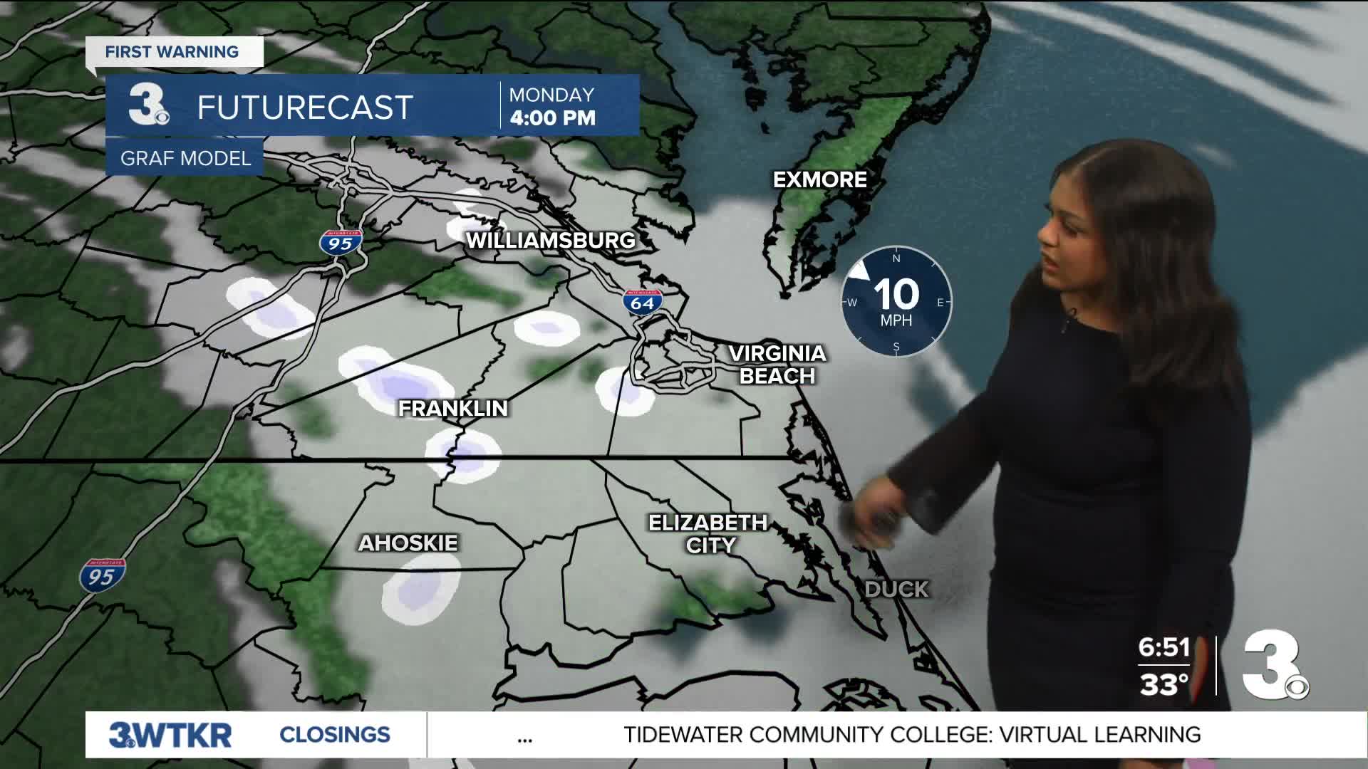
A band of sleet and freezing rain works from west to east through about midnight. Steady rain showers continue for portions of the Outer Banks through Monday morning. As temperatures fall below freezing, areas that are seeing fog will be dealing with poor visibility due to the development of freezing fog. Watch out for some slick spots if you have to commute to work or school on Monday.

We finally clear out the clouds and moisture chances by Tuesday. This week will be the coldest week we’ve had all winter. Highs hover in the 20s and 30s with lows in the teens.
There are a couple more chances for isolated snow showers throughout the week. We’re keeping a close eye on another weekend system that will have the potential to bring more winter weather.

Let's connect on social media!
Forecaster Derrah Getter:
For weather updates on Facebook: HERE
For weather updates on X: HERE
Follow me on Instagram: HERE
Check out the Interactive Radar on WTKR.com: Interactive Radar
