

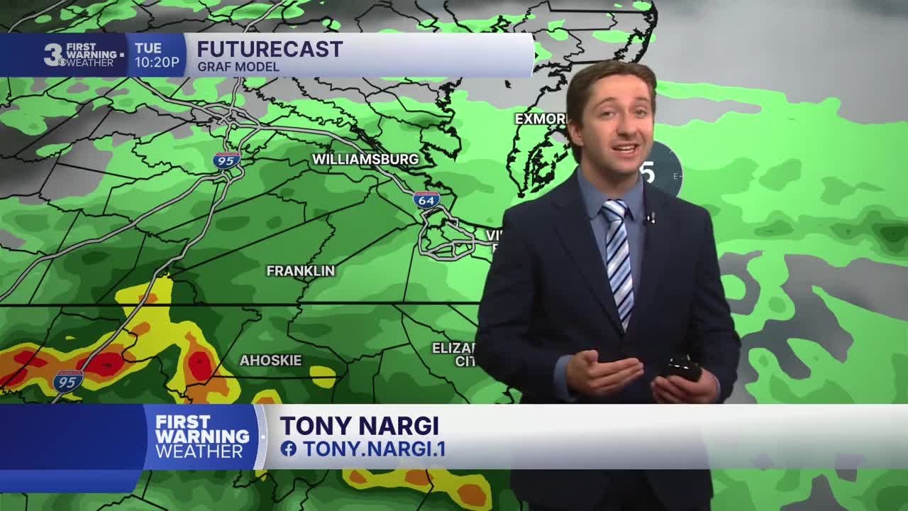


Meteorologist Tony Nargi's First Warning Forecast
Today will start out mostly cloudy with some isolated showers possible. It will be muggy and warm to start, with high temperatures reaching the upper 80s to low 90s this afternoon. We'll see showers and storms become more widespread this afternoon with an 80% chance of rain, and some isolated severe storms are possible as well. Flooding will be the main concern today, with heavy downpours likely causing localized drainage issues and ponding on roadways. Winds will be out of the WSW at 5-10 mph. Overnight showers and storms will slowly dissipate as lows drop into the 70s.


Tomorrow will start out mostly cloudy with isolated showers. We'll see scattered storms in the afternoon, but storms will be less widespread on Wednesday with a 40% chance of rain. High temperatures will be cooler, reaching the upper 80s inland and low to mid 80s closer to the coast. Winds will be out of the ENE at 5-15 mph. Thursday will start out dry with mostly sunny skies. Some scattered afternoon storms are possible Thursday, with a 40% chance of rain. Highs on Thursday will be around 90.

Friday will be hot and humid but mostly dry as well, with high temperatures reaching the mid 90s and heat indices surpassing 105. Another round of showers and storms will move through Saturday afternoon, with storms potentially lingering into Sunday as well. Monday will begin a drier stretch for the region.

Weather updates on social media:
