



Meteorologist Tony Nargi's First Warning Forecast
This evening we'll see lingering showers and storms that will taper off overnight. Tonight we'll see lows in the 70s with isolated showers possible.

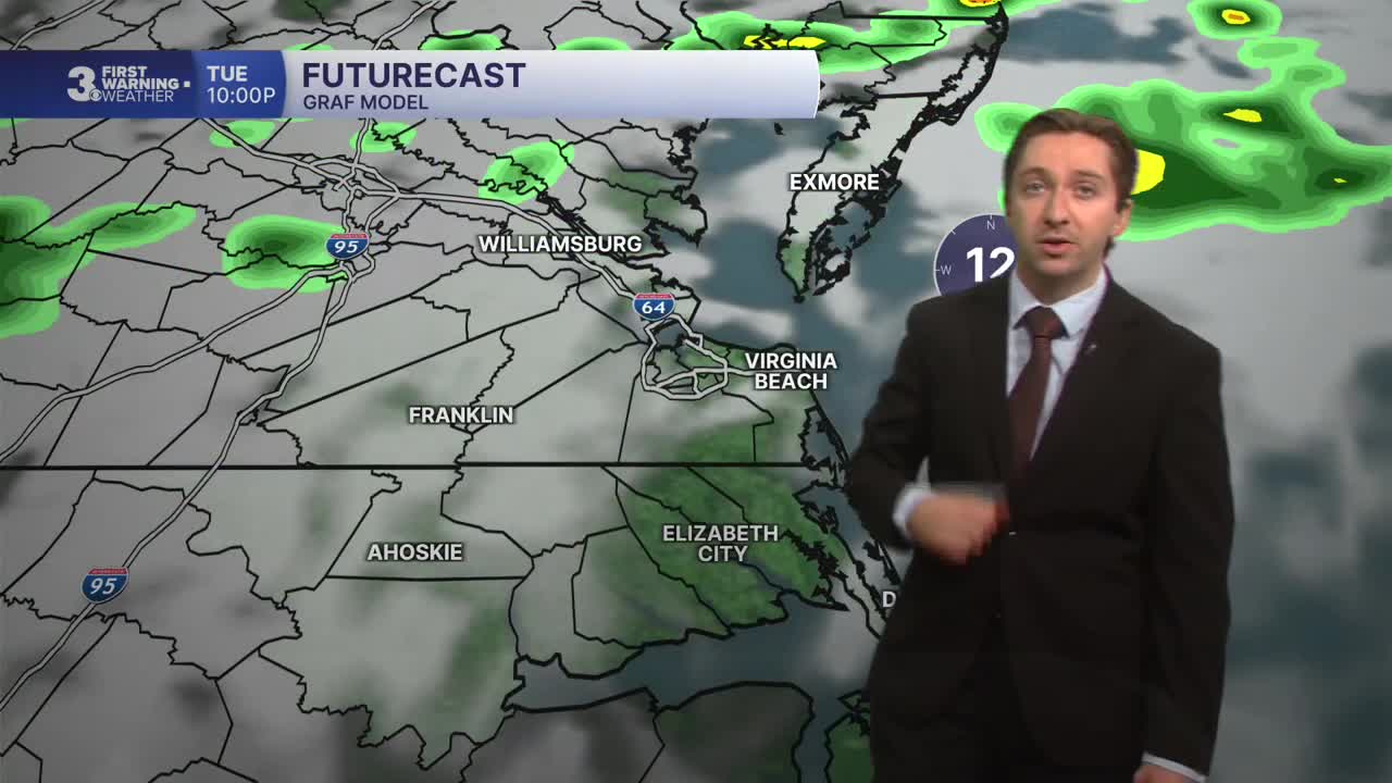
Tomorrow will be mostly cloudy and humid. We'll see isolated showers and storms possible during the morning followed by scattered storms during the afternoon. The threat of severe weather continues Tuesday with the potential for strong storms capable of producing up to 70 mph gusts and isolated large hail. An isolated tornado also can't be ruled out. We'll see high temperatures in the low 90s with heat indices surpassing 100. Winds will be out of the SW at 10-15 mph, gusting up to 25 mph.


Wednesday will pose another threat for severe weather. A cold front will slowly approach Hampton Roads, bringing widespread storms by the afternoon. We will likely see a few strong storms capable of producing sporadic wind gusts up to 70 mph during the afternoon. Highs will reach the upper 80s to low 90s. Overnight showers and storms will likely continue, lasting into Thursday morning. On Thursday we'll see skies start to clear for northern portions of our region, while storms continue to develop across North Carolina throughout the day. Highs will be cooler, dropping into the low to mid 80s with less humidity, especially further north.

There is some uncertainty for Friday and Saturday's forecast, but right now the thinking is we'll be mostly dry. Some models have suggested Wednesday's cold front could interact with Tropical Storm Bertha in the gulf, leading to lots of rain and storms transported into our area. However, the most likely scenario right now looks to be a mostly dry Friday and Saturday, with just isolated storms along with cooler temperatures.

TROPICS:
Tropical Storm Bertha is slated to develop over the next 24 hours, and will continue to drift west towards Texas and Louisiana. Some moisture kicked up by Tropical Storm Bertha could bring some rain to our area Friday and Saturday, however there is still a lot of uncertainty with this scenario and is not likely at this time.

Weather updates on social media:
