

Meteorologist Tony Nargi's First Warning Forecast
It's an excellent day to start the week! Highs will reach the low 80s today with light winds out of the NE at 10-15 mph. We'll see mostly sunny skies, with just a couple spotty showers possible in and around the outer banks. Surf will be a little rough, with 3-4 foot waves and a high risk of rip currents.

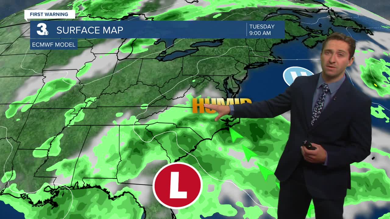
Tomorrow will begin our climb in temperatures and humidity, with highs reaching the low to mid 80s along with dew points reaching the low 70s. There's a 30% chance for an afternoon shower, with partly cloudy skies expected. Winds will be out of the NE at 10-15 mph. On Tuesday our climb continues with highs reaching the mid 80s along with dew points in the low to mid 70s, leading to head indices surpassing 90. Skies will be partly cloudy along with some spotty afternoon showers possible.

By midweek temperatures will climb into the upper 80s to low 90s, with head indices topping off near 100. We'll see the chance for thunderstorms return, especially Thursday, though no severe weather is expected this week.


TRACKING THE TROPICS
A new tropical wave is moving off of the western African coastline, and this wave is looking likely to become our next named system. The National Hurricane Center has given this system a 70% chance of developing into a tropical system over the next week, and most models suggest that this storm will become tropical storm Erin. However, we are still a long (7+ days) way from this storm being even close to the United States.

Check out the Interactive Radar on WTKR.com: Interactive Radar
