



Meteorologist Tony Nargi's First Warning Forecast
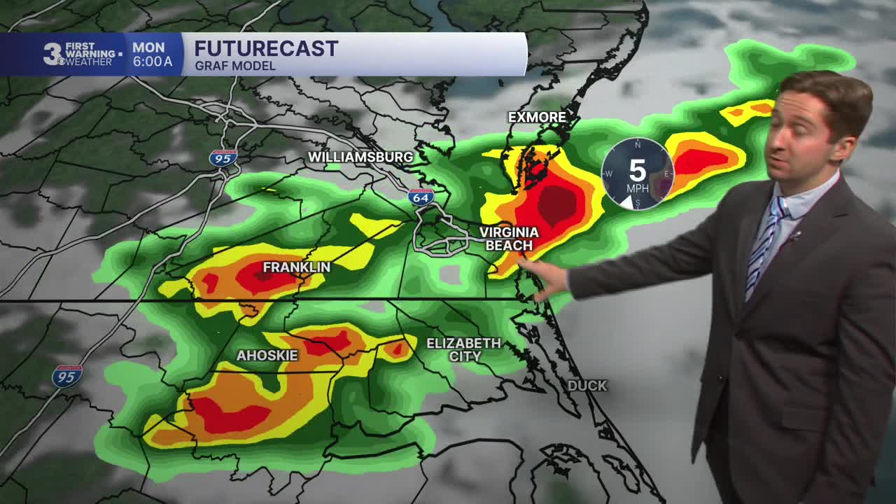
Today will start off with clear skies, though some patchy fog is possible through 9 AM. It will be mostly sunny with high temperatures in the low to mid 80s. A stray shower is possible in the afternoon, but most of the area will stay dry. Winds will be light out of the NW at 5-10 mph. Overnight lows will drop into the 60s, with a few storms possible late. The chance of rain is 30% tonight, with rain possible between 4 AM and 7 AM.

Tomorrow morning will start off with some clouds and perhaps a lingering shower followed by mostly sunny skies emerging by mid-morning. It will be mostly sunny with a passing shower or storm possible during the afternoon, with a 30% chance of rain. High temperatures will reach the mid to upper 80s, with dew points jumping back above 70, meaning humid conditions will be felt. Winds will be light out of the SE at 5-10 mph.

Tuesday will be warmer and even more humid, with high temperatures near 90 and heat indices around 100. We'll see mostly sunny skies in the morning with clouds building during the afternoon. Strong to severe storms are possible during the late afternoon and evening as a cold front pushes through the region. Showers and storms will linger overnight after the severe threat ends, and a few showers are possible Wednesday morning. Wednesday afternoon will be partly cloudy with temperatures in the mid to upper 80s along with lower humidity.


Pleasant conditions move in Thursday next week, with mainly dry conditions expected and seasonable temps. Lower humidity with temperatures in the mid 80s continues into Friday, with a slight warming trend expected as we head into next weekend.

Weather updates on social media:
