

Derrah Getter's First Warning Forecast
The cloud cover has finally begun to move out. We get a brief break from the gloomy conditions before more rain arrives this weekend.

Isolated showers move through with a passing cold front. The cloud cover breaks this evening, making for a comfortable finish to the work week.
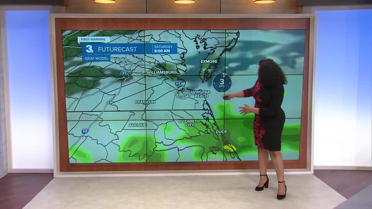
Saturday will be cloudy to start with showers, mainly in North Carolina. By the afternoon we’ll be dry with a thinner layer of cloud cover.

Sunday will feature on and off scattered showers throughout the majority of the day. As we get closer to nightfall, temperatures hover near freezing, which will allow for a switch to mixed precipitation and snow for some. Because the ground will already be so saturated, accumulation will be difficult so little to none is expected.
Drier and cooler conditions return through the middle of next week. More rain arrives on Thursday.

Let's connect on social media!
Forecaster Derrah Getter:
For weather updates on Facebook: HERE
For weather updates on X: HERE
Follow me on Instagram: HERE
Check out the Interactive Radar on WTKR.com: Interactive Radar
