



Meteorologist Tony Nargi's First Warning Forecast
Today will start out with a mix of clouds and sunshine followed by overcast skies developing during the afternoon. High temperatures will reach the mid to upper 60s, with light winds out of the NE/E at 5-15 mph. Overnight showers will slowly develop from north to south as a coastal storm begins to move towards the region. Lows will only drop into the 50s tonight.

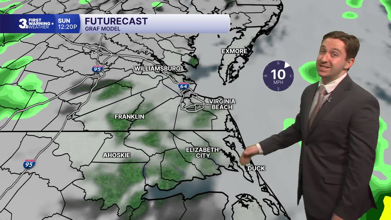
Tomorrow will be a dreary day with cloudy skies and occasional showers expected throughout the morning. A lull in precipitation is possible during the middle part of the day, followed by some more showers expected during the afternoon. Around 0.5" of rain is expected, with some higher amounts possible inland. Winds will be out of the N/NE at 10-15 mph, with gusts up to 25 mph at times. High temperatures will reach the mid to upper 60s. Overnight skies will remain cloudy with showers tapering off after midnight.

Monday will feature mostly cloudy skies in the morning and a 20% chance of an AM shower. We'll see partly cloudy skies by the afternoon with highs in the upper 60s. Winds will be out of the NW at 5-10 mph. Temperatures will drop into the 40s and 30s inland overnight with skies clearing out. Tuesday will be mostly sunny with high temperatures only reaching the low to mid 50s.


As we head towards Thanksgiving, we'll see clouds return on Wednesday with rain moving in Wednesday evening/overnight. Rain is expected Thanksgiving morning, with showers potentially lingering into the afternoon as well.

Weather updates on social media:
