


Meteorologist Myles Henderson’s First Warning Forecast
A chilly start to the work week but warming to the 60s by midweek.
Cloudy, cooler, and windy today. A gloomy day with widespread clouds and leftover showers/drizzle. Temperatures will linger in the low to mid 40s all day. It will be windy with gusts to near 30 mph. Winds will back down and skies will start to clear out tonight.

A nice mix of mostly sunny to partly cloudy skies on Tuesday with highs warming to the upper 50s. We will warm to the mid 60s on Wednesday.

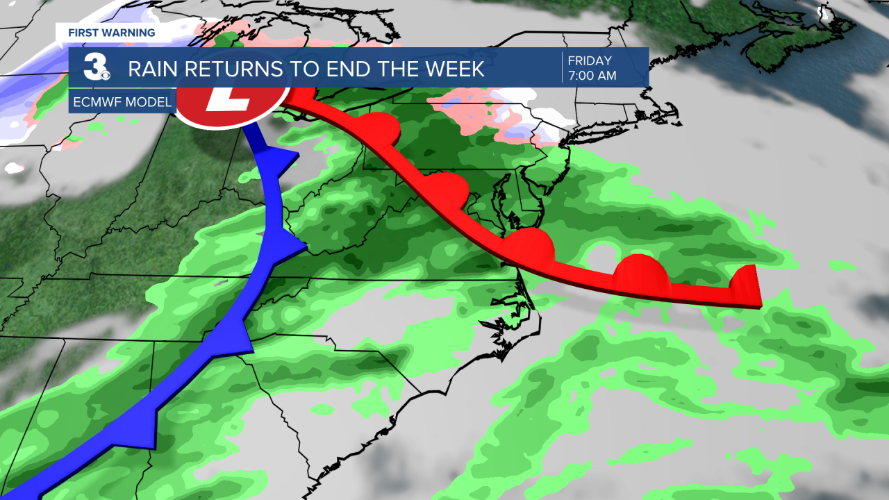
Highs will remain in the 60s to end the work week, but with more clouds and rain. Expect partly to mostly cloudy skies with scattered showers Thursday and Friday as a cold front moves through the region.
Today: Cloudy, Windy. Highs in the mid 40s. Winds: N 10-20 G30
Tonight: Clearing Skies. Lows in the mid 30s. Winds: E/S 5-10
Tomorrow: Sun & Clouds. Highs in the upper 50s. Winds: SW 5-10
Weather updates on social media:
Facebook: MylesHendersonWTKR
Instagram: @MylesHendersonWTKR
