

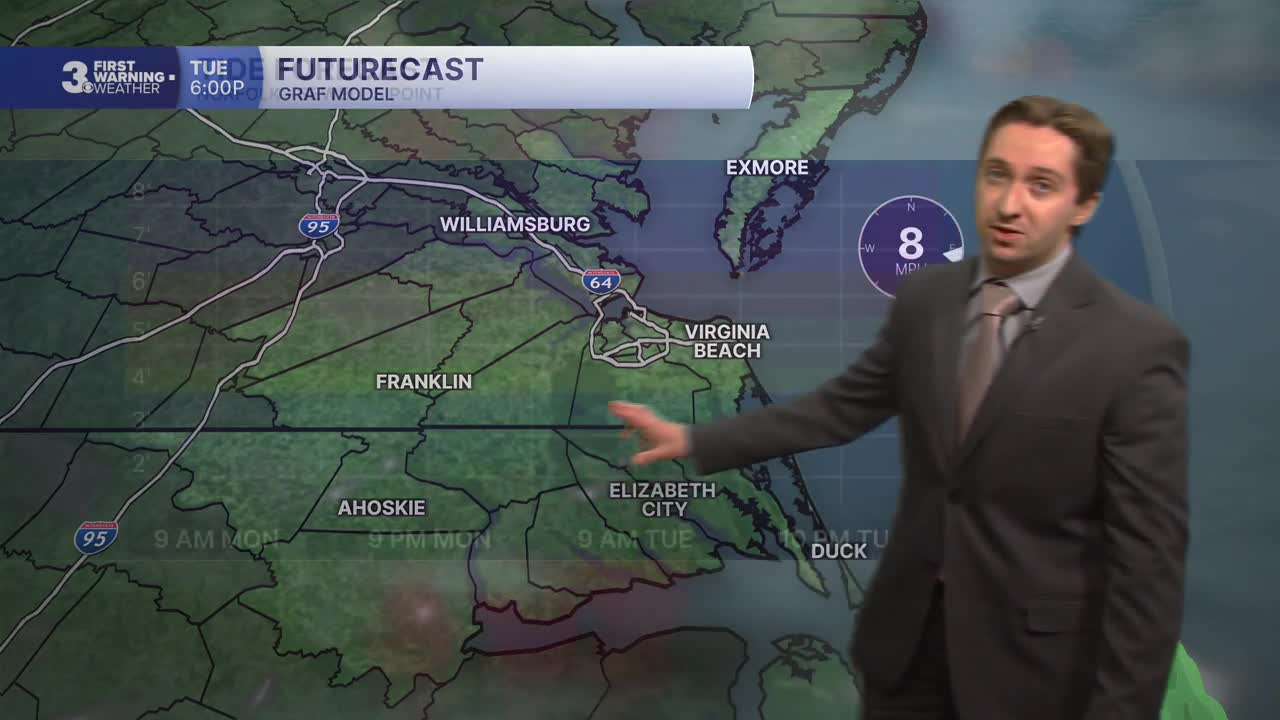


Meteorologist Tony Nargi's First Warning Forecast
This morning will start off cloudy with a few showers possible. Steady light rain and occasional downpours are expected in NE North Carolina and the Outer Banks, with rain continuing all day for the Outer Banks. Everywhere else showers will dry up throughout the morning, however mostly cloudy conditions will linger. High temperatures will reach the low to mid 80s, with breezy conditions out of the ENE at 10-20 mph. Overnight clouds will start to clear out, with lows in the upper 60s and low 70s.


Tomorrow will start off with a few clouds followed by mostly sunny conditions. Highs will reach the mid 80s, with winds calming down out of the ENE at 5-15 mph. A stray shower or two is possible, mainly on the Outer Banks. Overnight clear skies are expected with lows in the upper 60s to low 70s once again. Wednesday will be hot and humid, with mostly sunny skies and high temperatures reaching the mid 90s. Dew points around 70 will lead to heat indices in the low to mid 100s. Winds will be light out of the WSW at 5-10 mph. Overnight lows will only drop into the mid 70s Wednesday night.
Thursday looks to be very hot, and heat advisories are possible as high temperatures reach the mid to upper 90s. We'll see mostly sunny skies and heat indices in the mid 100s. On Friday a severe threat still looms, but recent trends have suggested less thunderstorm activity.

More storms move into the picture on Saturday, particularly Saturday night. Temperatures will stay in the 90s Saturday before dropping slightly on Sunday thanks to more widespread storms. I've left the POP for Sunday at 40% due to a bit of model uncertainty in storm coverage, however storms do look likely to form in at least part of our area.

Weather updates on social media:
