



Meteorologist Tony Nargi's First Warning Forecast
Localized heavy rain and widespread showers will continue tonight, with winds picking up out of the NE at 15-25 mph. Some minor tidal flooding is possible this evening, with showers possible all night. Lows will drop into the 60s.

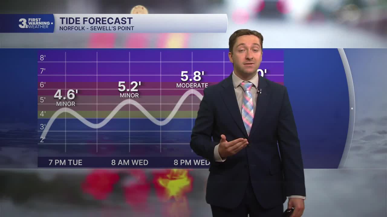
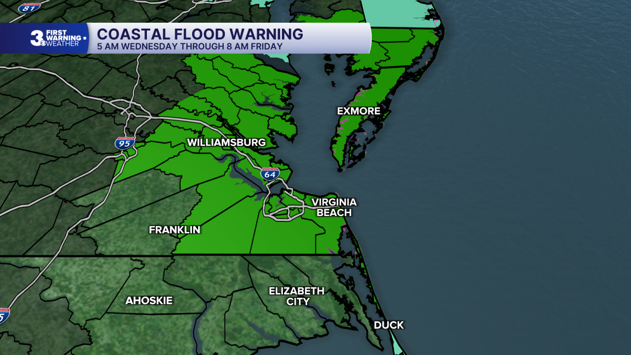
Tomorrow will start out with showers and windy conditions. Showers will become a steady rain and wind by tomorrow afternoon, with winds out of the NE at 20-30 mph along with gusts to 40+ mph. A coastal flood warning goes into effect tomorrow afternoon, and tidal flooding is expected during both the 8 AM/PM high tide cycles, avoid flood prone areas during these times! High temperatures will only reach the low 70s. Rainfall totals tomorrow will be around 1 inch, with lower chances of flash flooding expected tomorrow compared to today. Steady rain will transition to on and off showers overnight, with lows dropping into the 60s.


Thursday will feature less rain but more wind and tidal flooding. On and off wind driven showers are expected throughout the day, with cloudy skies and high temperatures in the upper 60s to low 70s. Tidal flooding will be moderate to major on Thursday morning/evening, with 2 to 3 feet of floodwater inundation possible in flood prone areas. Winds will remain strong, out of the NE at 20-30 mph with gusts up to 40 mph. Friday will feature similar conditions, with occasional showers and pockets of drizzle along with strong winds and tidal flooding. Temperatures will be cool, struggling to make it out of the 60s on Friday.
Breezy conditions will continue into the weekend, with some sunshine expected to return. The coastal storm will linger to our north Saturday before turning west Sunday, which could lead to some more shower activity. By Monday and Tuesday, calmer conditions finally return.

TROPICS:

Tropical Storm Fay was short lived and is now a post tropical cyclone. Another area of interest off the coast of Africa will be closely monitored over the coming week, which currently has a 30% chance of development.
Weather updates on social media:
