



Meteorologist Tony Nargi's First Warning Forecast
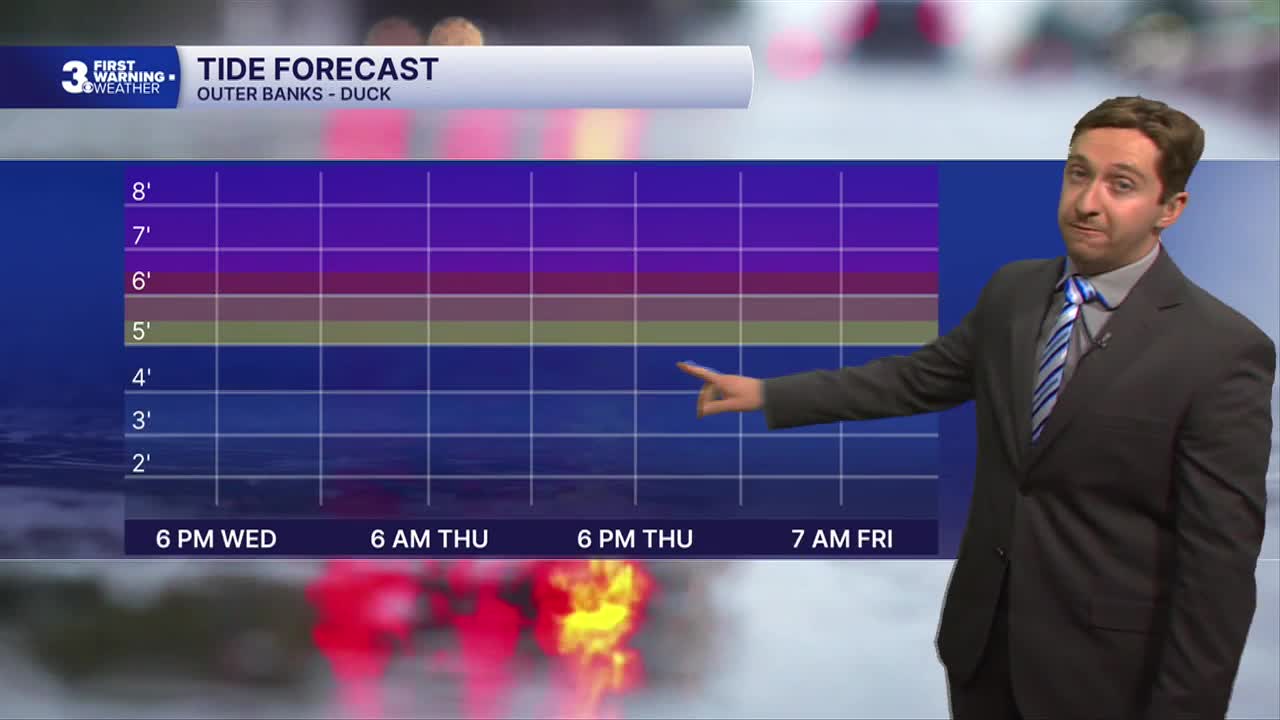
This evening we're expecting another round of moderate to major tidal flooding during the 8 PM high tide cycle. The high tide will occur earlier on the Outer Banks and later further west up the James and York Rivers. Winds will be out of the NE at 20-30 mph, with gusts up to 45 mph along the immediate coast. Patchy drizzle and showers will continue, with lows in the 60s.

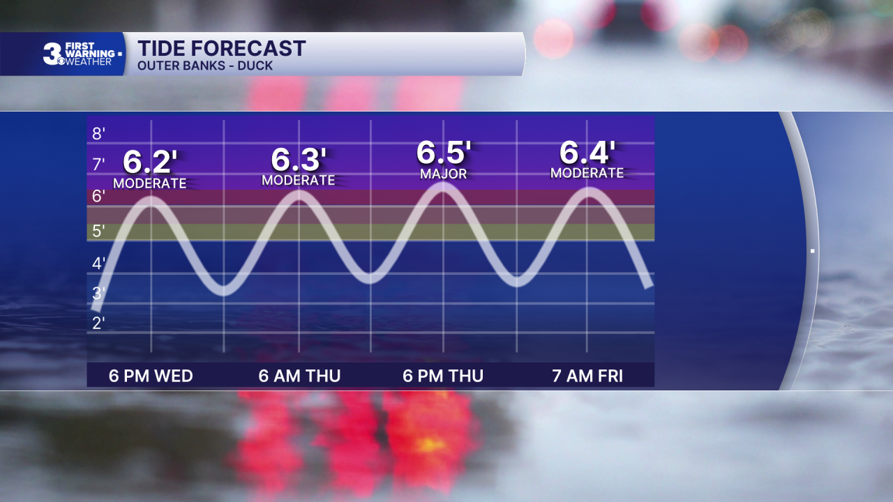
Tomorrow will be another gloomy and windy day, with two high tide cycles that will cause moderate to major coastal flooding. High tide will occur at 8 AM/PM, and a coastal flood warning is in effect all day. We'll see cloudy skies and off and on showers and drizzle. Winds will be strong at the coast, with 20-30 mph winds closer to the coast 10-20 mph winds inland. Gusts will exceed 40 mph along the shoreline. Overnight winds may even pick up a bit along the Outer Banks, and a period of rain is possible as the coastal low jogs west.

Friday will feature mostly cloudy skies and more rounds of tidal flooding. Winds will stay strong on the Outer Banks and immediate shoreline, out of the N/NE at 15-25 mph, with gusts to 40 mph on the Outer Banks. Some showers are possible, and some steady rain may move into the Outer Banks and Eastern Shore. On Saturday the storm finally pulls north, and windy conditions with showers are still likely but tidal flooding should ease a bit.

On Sunday winds and rain chances finally begin to subside, and tidal flooding should cease. Temperatures will stay cool to begin next week in the low to mid 70s, with warmer temperatures expected by the middle of next week.

TROPICS:

The remnants of Tropical Storm Fay look poised to redevelop over the Central Atlantic, and another area of interest off the coast of Africa may develop as well. We'll monitor these areas as they continue to organize.
Weather updates on social media:
