

Meteorologist Tony Nargi's First Warning Forecast
Today will start off very cold, with occasional flurries before sunrise along with temperatures in the low 30s and wind chills in the low 20s! Temperatures will only reach the mid to upper 40s this afternoon, with winds out of WNW at 10-20 mph. We'll see mostly sunny skies today, and mainly clear skies overnight. Low's will drop back into the 30s tonight, with some frost possible as well.


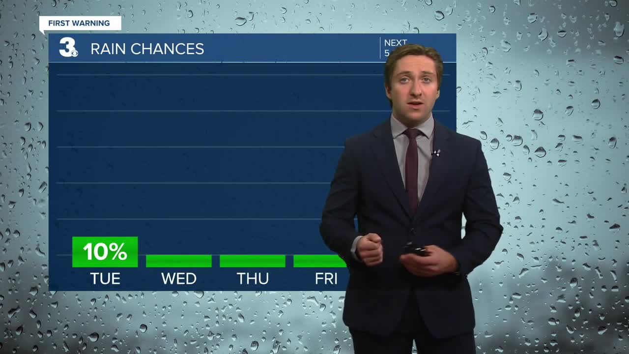
Tomorrow will be closer to normal, with temperatures reaching the low 60s after a cool start to the day. We'll see clear skies along with breezy conditions out of the SW at 10-20 mph. Dry conditions persist for the rest of the week, with Thursday remaining mostly sunny along with near normal temperatures in the upper 50s to 60. Winds will calm down a bit on Thursday, dropping to 10-15 mph out of the WNW.

Mostly sunny skies will extend into Friday along with lighter winds. On Saturday we'll see dry conditions with partly cloudy skies. Our rain chances will return to begin next week as a cold front passes through Sunday night into Monday morning.

Weather updates on social media:
