

Meteorologist Tony Nargi's First Warning Forecast
Today will start off with mainly cloudy skies as a cold front makes its way offshore. Temperatures near the coastline start out in the low 70s (60s and some 50s inland), with cooler and drier air continuing to drain into the region. High temperatures reach the low 80s, with winds out of the NE at 5-15 mph. We'll see some partly cloudy skies later today as dew points plummet into the 50s, bringing a comfortable feel to the afternoon air. Surf height will be between 2-3 feet, along with another high risk for rip currents. Overnight lows will drop into the low to mid 60s.

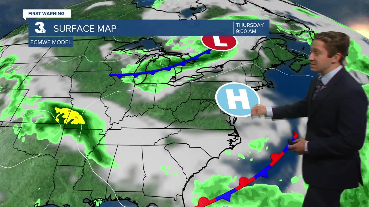
Tomorrow will be the best day of the week, with highs in the upper 70s to near 80 along with sunny skies. Dew points will be in the mid 50s, brining a fall-like feel to the region. Winds will be out of the NE at 5-10 mph. A stray afternoon shower/storm will be possible, but the vast majority of us stay dry. On Thursday some clouds return to the region thanks to a stalled front offshore drifting closer to Hampton Roads. We'll stay mainly dry through Thursday with temperatures remaining below normal.


Our next chance of rain will be Friday, when a coastal low tries to develop along the stalled front offshore. This will bring a chance for thunderstorms, before drier weather prevails on Saturday. Temperatures will stay below normal through Labor Day weekend!


TRACKING THE TROPICS
The tropics are quieting down this week, with no development expected over the next 7 days. Tropical Storm Fernand remains the only active storm, and is expected to go extra-tropical by tomorrow. The tropics will likely become active again after the first week of September.

Weather updates on social media:
