



Meteorologist Tony Nargi's First Warning Forecast
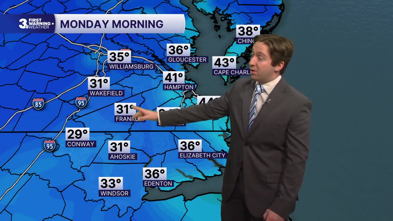
Today will start out chilly with lows in the 30s for many neighbors. Sunshine in the morning will help us warm into the 50s for afternoon highs. Some clouds will move in during the afternoon, with a 10% chance of seeing a stray shower. Winds will be out of the NW at 10-15 mph, with gusts up to 20 mph. Clouds will stick around this evening, but clearing is expected after midnight, with overnight lows dropping into the 30s and low 40s once again. Patchy frost is expected.

Tomorrow will start off chilly once again, followed by mostly sunny to partly cloudy skies and high temperatures in the low to mid 50s. Dry conditions are expected, with light winds out of the NW at 5-10 mph. Tuesday will feature more sunshine along with temperatures in the mid 50s. Dry conditions will continue through the end of the week.


Wednesday will be a step warmer, with high temperatures reaching the upper 50s to low 60s. By Thursday temperatures return to the low to mid 60s, with mostly sunny skies staying in place. As we head towards the end of the week, dry conditions will remain with temperatures in the mid 60s. Our next chance of rain likely won't arrive until after next weekend.

Weather updates on social media:
